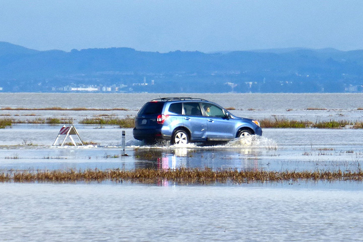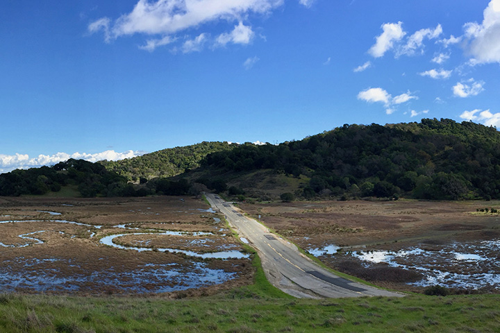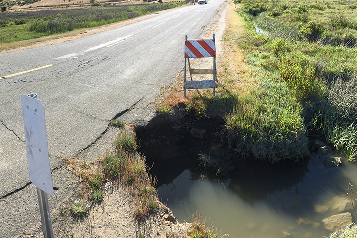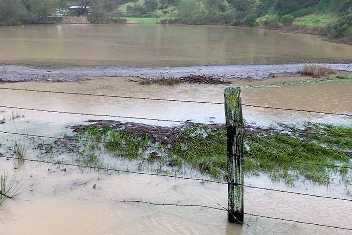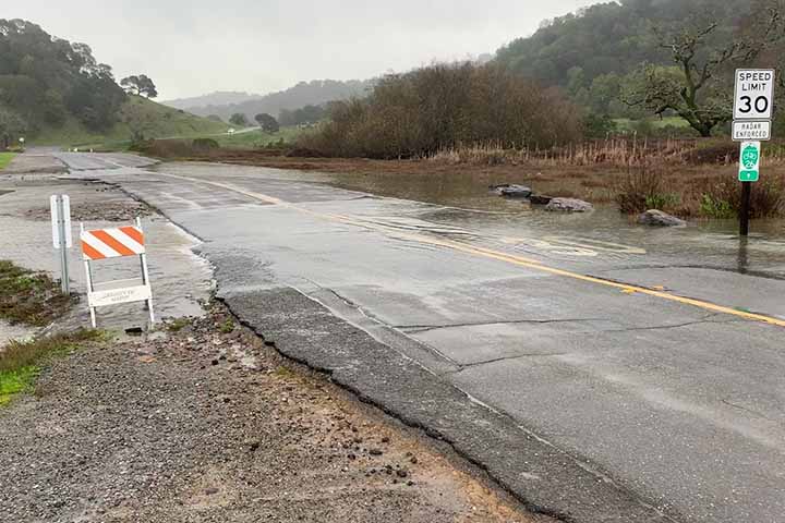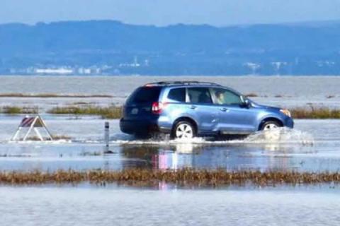
Coastal communities around the country are facing rising seas and tidal flooding and must find creative solutions to protect low-lying roads, homes, and other coastal infrastructure. This project took a close look at one example of this complex problem—a shoreline road that bisects the San Francisco National Estuarine Research Reserve’s China Camp State Park. The shoreline section of North San Pedro Road is an important transportation corridor; however, the road routinely floods, and its undersized culverts restrict tidal influence in the interior marshes, which limits their ability to adapt naturally to sea level rise.
This project blended technical expertise and active community participation to initiate adaptation planning from the bottom up. A facilitated process brought together a wide range of stakeholders representing diverse local interests to identify and evaluate adaptation options for the road. New field research improved understanding of the extent to which sea level rise influences the shoreline, marsh and North San Pedro Road. Project workshops helped generate a clearly defined set of adaptation options and their pros and cons, and created a strategy to move forward with planning and implementation. In addition, the project offers a potential model for other communities facing similar threats to coastal infrastructure. Stakeholder meeting slides, documents and references from related projects are offered as a resource for others interested in applying aspects of this team's approach.