Surface Elevation Tables (SETs) are widely used to collect data on the dynamics of tidal wetland communities through precise measurements of marsh surface over time. Most sites within the network of 29 National Estuarine Research Reserves have been measuring SETs for several years, resulting in a need for tools to process, analyze, and communicate about surface elevation change.
A 2018 catalyst project developed a series of tools for working with SET data, including R-scripts to automatically generate reports about wetland surface elevation change. These new tools were used to evaluate SET data from fifteen reserves across the country and produce reserve-specific reports as well as a national synthesis report of surface elevation changes. The R-scripts for analyzing SET data are available through GitHub and are explained in a Guide to the SETr Workflow and two project webinars. As additional data are collected, reserve staff and others can use the R-scripts to generate new data summaries that follow the format used in the set of reports presented here.
About these resources
Two types of reports were developed for each of the fifteen reserves that shared their Surface Elevation Table (SET) data, which typically span a five to eight year time period ending in 2018 or 2019.
Outreach Summaries
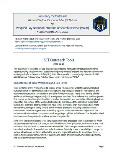
These reports are intended to help reserve education and coastal training program staff present and describe information relating to Surface Elevation Table (SET) data to non-technical audiences. Each report provides an outreach-friendly explanation of SETs and explains how to read and interpret each data visualization. Click to see a full list with links to facilitation tools.
- Apalachicola Reserve, FL
- Chesapeake Bay Reserve, MD
- Chesapeake Bay Reserve, VA
- Delaware Reserve, DE
- Elkhorn Slough Reserve, CA
- Grand Bay Reserve, MS
- Great Bay Reserve, NH
- Guana Tolomato Matanzas Reserve, FL
- Mission-Aransas Reserve, TX
- Narragansett Bay Reserve, RI
- Narragansett Bay & UNH, RI
- Padilla Bay Reserve, WA
- South Slough Reserve, OR
- Wells Reserve, ME
- Weeks Bay Reserve, AL
- Waquoit Bay Reserve, MA
Technical Summaries: Analysis of Surface Elevation Change at Each Reserve
Each technical report summarizes the rate of elevation change at each SET location in a reserve. The document includes graphics showing change over time, graphical comparisons to sea level rise, a spatial view of the changes within a reserve, and tables of all relevant numbers and levels of uncertainty. This document is aimed at technical Reserve staff that already understand SETs and their importance. Click to see a full list with links to facilitation tools.
- Apalachicola Reserve, FL
- Chesapeake Bay Reserve, MD
- Chesapeake Bay Reserve, VA
- Delaware Reserve, DE
- Elkhorn Slough Reserve, CA
- Grand Bay Reserve, MS
- Great Bay Reserve, NH
- Guana Tolomato Matanzas Reserve, FL
- Mission-Aransas Reserve, TX
- Narragansett Bay Reserve, RI
- Narragansett Bay Reserve & UNH, RI
- Padilla Bay Reserve, WA
- South Slough Reserve, OR
- Wells Reserve, ME
- Weeks Bay Reserve, AL
- Waquoit Bay Reserve, MA
Questions about these reports can be directed to: Kim Cressman, Catbird Stats, [email protected]
![]()