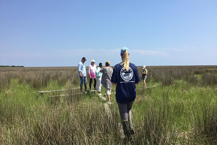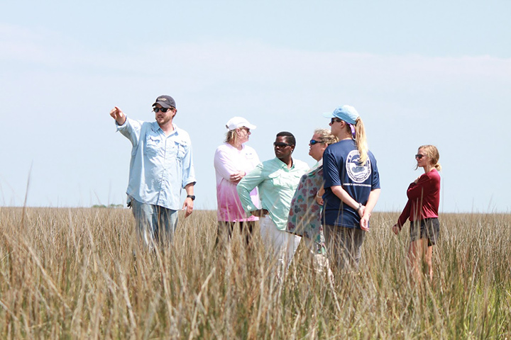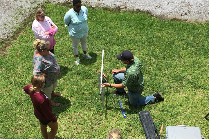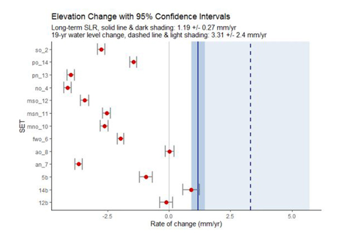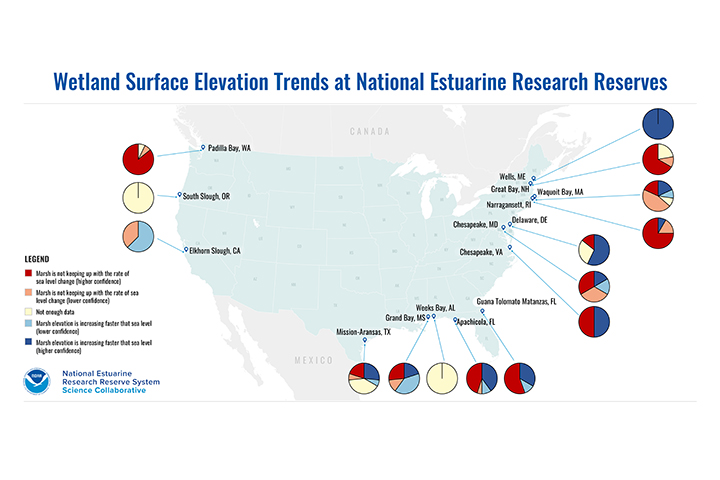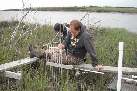
Can tidal wetlands keep up with sea level rise? To better understand this critical coastal management question, the National Estuarine Research Reserve System expanded long term monitoring of coastal marshes, and most reserves across the continental United States have been collecting data with Surface Elevation Tables (SETs) for several years. These precise measurements of marsh surface height over time can track the natural changes in marsh elevation that occur through plant root growth and sediment deposition, and then compare that rate of change with sea level rise. Despite widespread interest, marsh elevation data across the reserve system has been a largely untapped goldmine with the potential to help scientists, managers, and the public better understand how changes in marsh elevation compare to sea level rise and the nature of climate impacts in different coastal regions.
In order to better utilize this rich dataset, the SETr project developed new tools to process, analyze, and communicate about marsh surface elevation change. The project produced a suite of open-source data analysis tools and a workflow using R that help users generate reports and visualizations to communicate with technical and nontechnical audiences. The user-friendly tools and collaboration created through this project filled a key gap, enhanced the usability of SET data to address coastal management challenges, and supported more effective communication with general audiences.