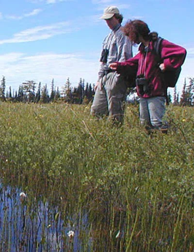
The Kenai Lowlands in southern Alaska cover 9.400 square kilometers and include huge expanses of wetlands, predominantly peatlands and tidal saltmarshes at river mouths and coastlines. As part of a project to assess the potential for blue carbon projects in this region, the Kachemak Bay National Estuarine Research Reserve and its partners developed communications strategies and tools to strengthen stakeholder networks and advance blue carbon conversations in the region.
About this resource
These multimedia outreach and communications tools explore peatland carbon in the Kenai Lowlands and introduce blue carbon financing to a wide range of audiences. They can be used by project partners to increase awareness of peatland ecosystem services and build support for local blue carbon projects.
Presentations
- Kenai Peninsula's Turquoise Carbon: Prospects for Finance and Conservation - Presentation to the Kenai Peninsula Borough Assembly, February 28, 2018
- Brief Overview of Blue Carbon Sampling
- What's a Wetland Worth? Measurement tools and financial incentives for the management of Kenai Peninsula's peatlands - Webinar agenda and presentation slides, April 25, 2018
Videos
- An Exploration of Blue Carbon - Video highlights from field trips to Kachemak Heritage Land Trust properties in July 2018. These field trips were an opportunity for stakeholders and decision makers on the Kenai Peninsula to explore blue carbon potential and learn from visiting experts from Waquoit Bay NERR, Smithsonian Environmental Research Center and Silvestrum Climate Associates.
Messaging Tools
- Key messages around blue carbon in the Kenai Lowlands
Illustrations