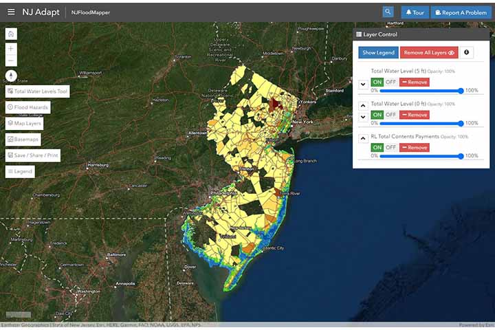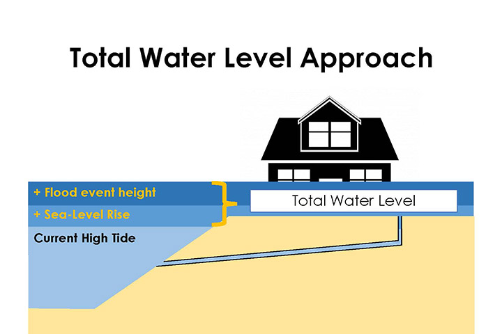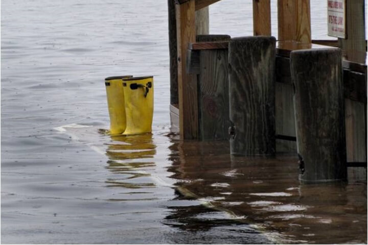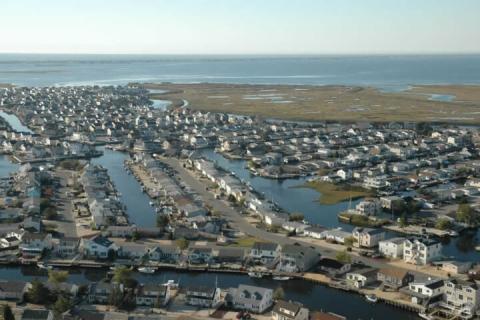
Since Hurricane Sandy battered the New Jersey coastline in 2012, coastal decision-makers have been inundated with data, tools, assessment techniques, and planning guidance to help them prepare communities to face future extreme storm events. Concurrently, the New Jersey Climate Adaptation Alliance, a network of policymakers, practitioners, academics, non-governmental organizations, and business leaders designed to build climate change preparedness in New Jersey, requested that Rutgers University convene a panel to identify planning options that coastal managers can use as part of resilience efforts. The panel suggested a framework for communities to apply a “total water level approach,” reflecting user-defined combinations of sea level rise and flood conditions and providing communities with additional flexibility to evaluate a range of flood conditions and time horizons for planning.
In this project, Jacques Cousteau National Estuarine Research Reserve and Rutgers University, who have collaborated for more than a decade to develop coastal resilience tools, worked together to both streamline the resilience data, tools, and techniques used by coastal decision makers and operationalize the total water level approach. By integrating and enhancing existing mapping and decision-support tools, this project increased the capacity of New Jersey’s coastal decision-makers to assess and plan for potential risks to people and property from future storms and related flooding.