A project team at the San Francisco Bay NERR is researching road modification options for a flood-prone stretch of North San Pedro Road, which runs through China Camp State Park in San Rafael. Communities rely on the road for essential transportation needs, but road modifications have implications for the marsh habitat and the tribal cultural resources of the Coast Miwok tribe.
About this resource
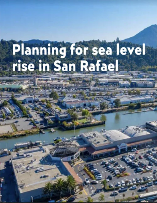
These slides were presented at a December 1, 2022 meeting bringing together key project partners (China Camp State Park, Marin County, and Sonoma University), focusing on the project's cultural resource findings and implications for adaptation alternatives. The first slides address the broader San Rafael community's needs for planning for sea-level rise and infrastructure changes needed in low level regions of the city to increase sea-level rise and flood resiliency. The second slides show progress made by the project team in monitoring water levels in China Camp State Park and assessing the effect of flooding on the marsh ecosystem.
- Slide Deck: Planning for Sea-Level Rise in San Rafael (PDF)
- Slide Deck: Monitoring Water Levels in China Camp State Park (PDF)