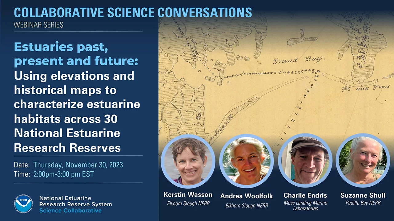
Webinar Description
Estuaries are coastal gems. To protect and restore them, we need a clear understanding of exactly where they are, where they were, and where they could be in the future. A team led by the National Estuarine Research Reserves (NERRs) recently completed an ambitious effort to map estuarine habitat in and around the 30 NERRs. They used a powerful combination of NOAA resources for elevation and tidal datums to map the reach of tides, historical topographic sheets generated by NOAA’s predecessor agency to map past habitat distributions, and compared this to mapping from USFWS’s National Wetland Inventory (NWI).
Elevation-based mapping revealed that estuary extent is greater than currently mapped in NWI. At more than two-thirds of the Reserves, the team detected tidal forests missed by NWI. Comparison of historical maps to NWI revealed dramatically greater loss of tidal wetland extent on the Pacific coast than in other regions. The results of this investigation suggest that multiple mapping methods complement each other and should be integrated to provide a more accurate understanding of estuaries—past, present and future.
Webinar Summary Resources
- Webinar Recording (YouTube)
- Speaker Bios (Webinar Page)
- Project Products (NERRA)
- Slides and Q&A (PDF)