Webinar Description
Tidal wetland monitoring is critical for detecting changes and managing these vulnerable coastal ecosystems. Wetland monitoring programs typically use ground-based measurements or satellite observations to track changes at small and large scales - but these approaches may miss important processes that occur at intermediate spatial scales or result from discrete events such as extreme storms. Mounting sensors on unmanned aerial systems (UAS) - commonly known as drones - offers an opportunity to radically improve tidal wetland monitoring programs by providing high spatial resolution, coverage, and customization on the operator’s schedule.
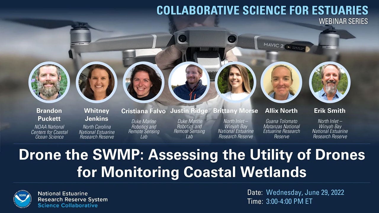
This project team worked with the six National Estuarine Research Reserves in the Southeast and Caribbean to develop, assess, and collaboratively refine a protocol for drone operation, data management, and data analysis. In this webinar, which consists of a presentation and panel discussion, members of the project team talks about their approach which included ground-based validation and drone-based observation to estimate common wetland monitoring parameters and a collaborative process for developing the protocols. They also share lessons learned, products developed, and benefits that have emerged from this work.
Webinar Summary Products
- Webinar Recording (YouTube)
- Speaker Bios (Webinar Page)
- Slides and Q&A (PDF)