- Watch: Full Session Recording (Youtube)
- Explore: Webinar Summary Resources
Tidal wetland monitoring is critical for detecting changes and managing these vulnerable coastal ecosystems. Wetland monitoring programs typically use ground-based measurements or satellite observations to track changes at small and large scales - but these approaches may miss important processes that occur at intermediate spatial scales or result from discrete events such as extreme storms. Mounting sensors on unmanned aerial systems (UAS) - commonly known as drones - offers an opportunity to radically improve tidal wetland monitoring programs by providing high spatial resolution, coverage, and customization on the operator’s schedule.
This project team worked with the six National Estuarine Research Reserves in the Southeast and Caribbean to develop, assess, and collaboratively refine a protocol for drone operation, data management, and data analysis. In this webinar, which consists of a presentation and panel discussion, members of the project team talk about their approach which included ground-based validation and drone-based observation to estimate common wetland monitoring parameters and a collaborative process for developing the protocols. They also share lessons learned, products developed, and benefits that have emerged from this work.
Learn more about the speakers:
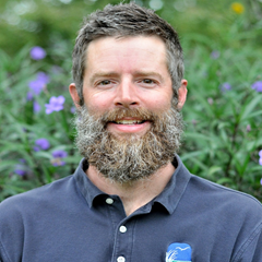 | Brandon Puckett served as Research Coordinator at the North Carolina National Estuarine Research Reserve (NC NERR) for the last seven years before recently transitioning to a Research Biologist position with NCCOS. His research interests, broadly speaking, center around the ecology of coastal habitats—focusing primarily on oysters, tidal marshes, and, to a lesser degree, seagrasses. Some of his recent research has focused on advancing the use of Uncrewed Aerial Systems (i.e., drones) for monitoring and, ultimately, assessing coastal habitats to inform management and improve restoration outcomes. Brandon received his Ph.D. in marine science from North Carolina State University and his M.S. in fisheries science from the University of Maryland. | |
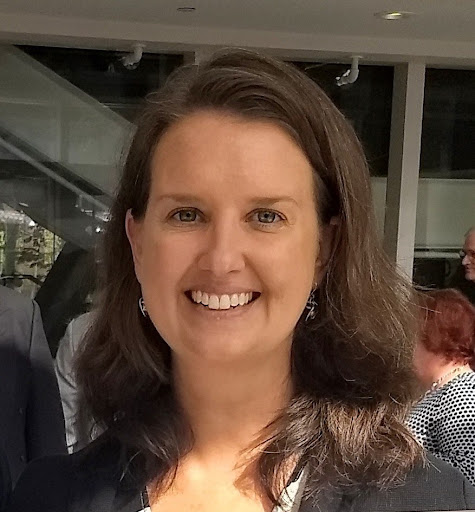 | Whitney Jenkins has been the coordinator of the North Carolina Coastal Training Program since 2002. The goal of the program is to promote informed coastal decisions through science-based training for professionals. Training programs focus on sustainable development, water quality protection, and coastal hazards. Whitney is also responsible for developing and facilitating Collaborative Learning processes for groups such as the N.C. Sentinel Site Cooperative. Whitney has a Master of Environmental Management from Duke University and a B.S. from the University of Florida. Whitney is based at the Coastal Reserve’s headquarters in Beaufort, but coordinates training across North Carolina’s 20 coastal counties. | |
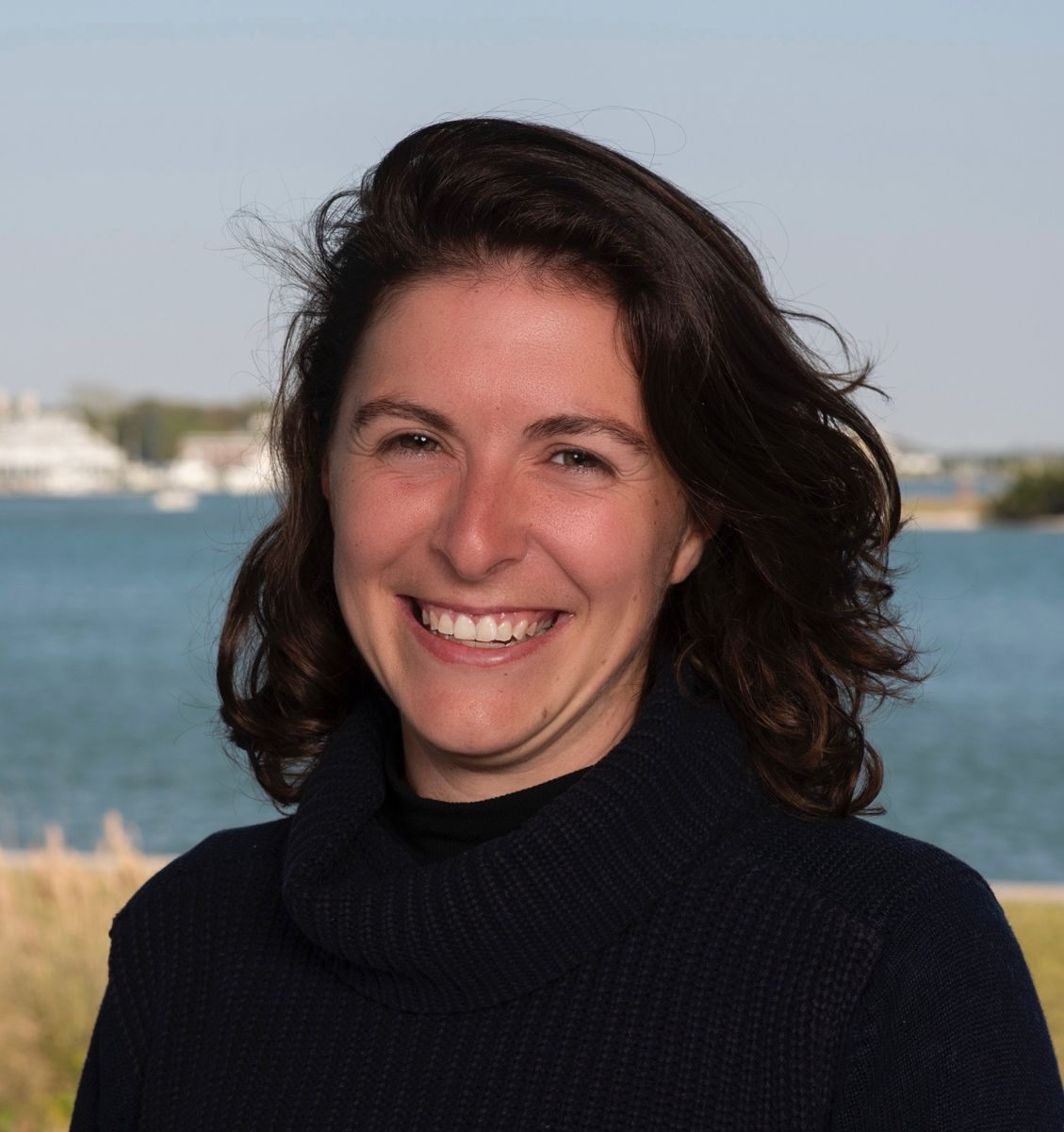 | Cristiana Falvo is a drone pilot and research technician in Duke's Marine Robotics and Remote Sensing Lab and holds a Master of Coastal Environmental Management (CEM) degree from Duke University. With a background in data management from the U.S. Geological Survey and slew of data science and communication skills acquired from the CEM program, Cristiana supports the drone lab’s various projects by helping to collect, process, analyze and manage aerial imagery. In addition to her data crunching duties, Cristiana has a growing interest in making our coasts more resilient to climate change and finds value in engaging with her surrounding community. | |
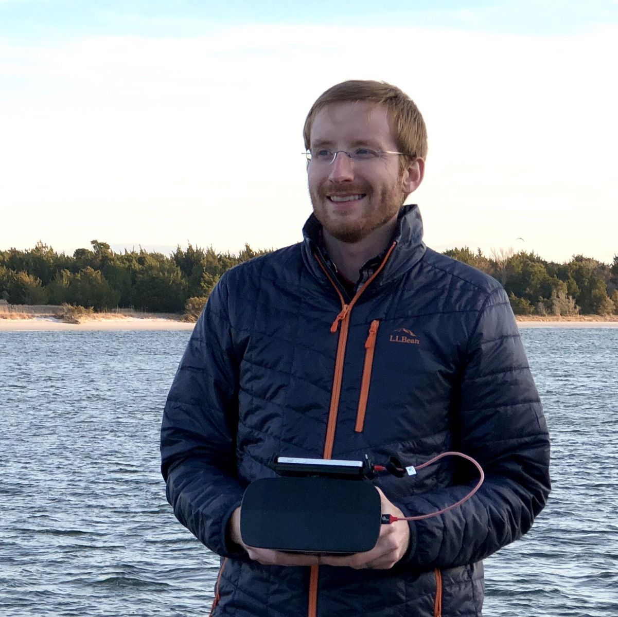 | Justin Ridge leads the Duke University Marine Robotics and Remote Sensing (MaRRS) Lab’s coastal mapping research, advancing multiscale remote sensing applications for coastal science and management. His research in estuarine systems has involved master’s work in Florida, doctoral work in North Carolina, and postdoctoral work with the MaRRS Lab since 2017 with a heavy focus in the NERRS. His research activities include the application of novel methods (e.g., drones, deep learning, etc.) for coastal resource management in the face of human and climatic driven changes, taking him all along the US East and Gulf Coasts and down to Belize. | |
 | Brittany Morse is a Research Specialist at the North Inlet - Winyah Bay National Estuarine Research Reserve (NI-WB NERR) where she assists with long term monitoring projects, as well as processes and analyzes UAS imagery. She holds a B.S. in Marine Science and Geography from the University of South Carolina. Her research interests include carbon and nutrient biogeochemistry, estuarine ecology, and remote sensing. | |
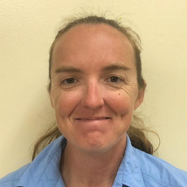 | Allix North serves as the Stewardship Coordinator for Guana Tolomato Matanzas NERR in NE Florida. She leads the UAV program, GIS and Spatial ecology program, and the prescribed fire program. She collaborates with other sectors providing drone imagery and GIS products. Allix has a Bachelors Degree for UF in Natural Resource Conservation and two Masters Certificates in Geospatial Analysis and Unmanned Air System Mapping from UF. | |
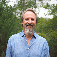 | Erik Smith is the Manager of the North Inlet - Winyah Bay National Estuarine Research Reserve (NI-WB NERR) and has previously served as its Research Coordinator. He received a Ph. D. from the University of Maryland and has active research interests in estuarine ecology and biogeochemistry. Erik is a FAA Part 107 certified pilot and leads the NI-WB NERR’s Uncrewed Aerial Systems (UAS) program, which is operationalizing the use of UAS to expand the temporal and spatial scope of the reserve’s marsh monitoring efforts through standardized repeated sampling of UAS-collected multispectral reflectance indices. | |