As the sixth largest estuary on the west coast, the Coos Bay estuary is one of Oregon’s most important ecological resources, both in its abundance, diversity, and quality and in the economic and cultural value it provides. However, modern management of the estuary and surrounding shorelands is based on the economic and social drivers of the 1970s, when local land use plans were developed. The community agrees that current land use regulations need to evolve to reflect today’s economic and social drivers, while proactively addressing environmental changes and protecting natural resources.
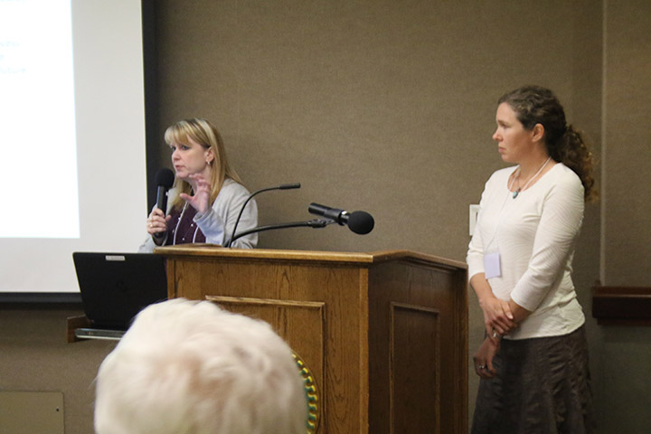
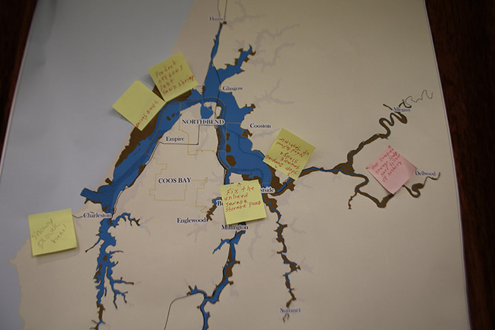
This focus of this project was how to create a modernized land use plan for the Coos Bay estuary that balances responsible economic development, social interests, and protection of natural resources. In order to identify areas where zone change will benefit estuarine management, the project team conducted an integrated assessment that compared actual uses of estuarine and shorelands to zoned uses. The team leveraged knowledge from community members, synthesized and compiled existing information, and applied a triple bottom line lens (economic, social, and environmental) to portray current conditions and uses in the estuary, and generate options and recommendations for local governments to improve their estuarine and shoreland management.