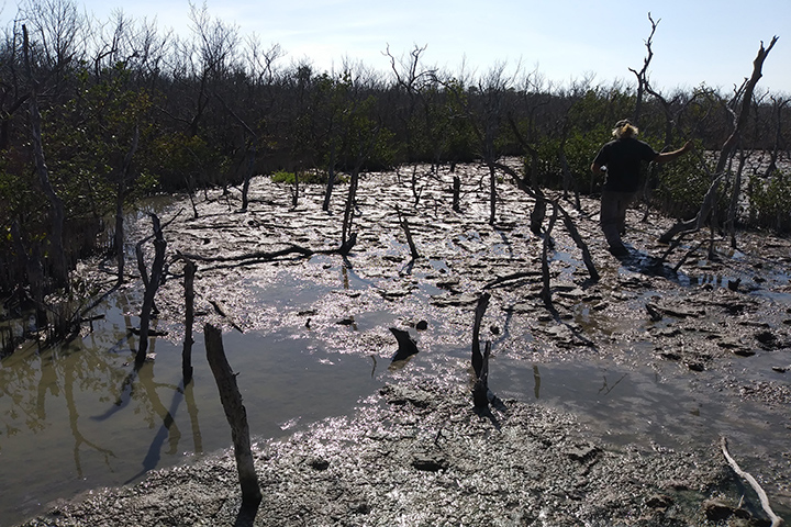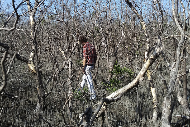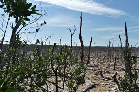
In recent years, mangrove loss has accelerated in the Rookery Bay National Estuarine Research Reserve and other parts of southern Florida as a result of chronic stresses such as watershed alterations and sea level rise along with acute impacts from storms. Habitat mapping is fundamental to watershed-scale conservation and restoration and is a vital tool to assess damage and recovery from extreme events like hurricanes. However, traditional mapping methods that rely on field work and human interpretation are not well suited to quickly and accurately map habitat over large areas.
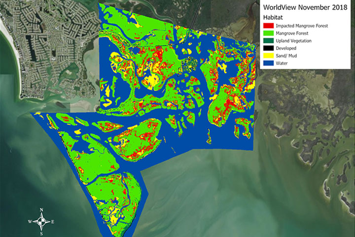
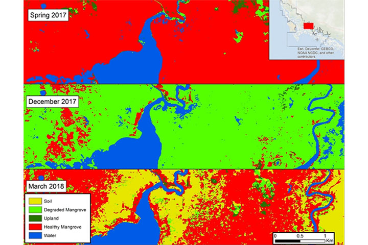
In this project, a team of University of South Florida College of Marine Science researchers and Rookery Bay Reserve staff tested a new high-resolution, automated mapping method to determine the location and extent of habitat damage over time. Using high-resolution commercial satellite images and advanced high-speed computation, the team updated habitat maps for the 110,000-acre reserve, evaluated habitat change over the period 2010 to 2018, and assessed the impact of Hurricane Irma. These maps have enabled reserve staff to better understand the causes of mangrove decline and guided management actions to increase mangrove habitat resiliency.
Project References
- Slides: Kick-off meeting with end users
- Slides: Mid-point consultation with end users
- Slides: Final project wrap-up
- Related Journal Article: Rapid Coastal Forest Decline in Florida's Big Bend