By pairing water quality and meteorological data with visible impacts, reserves can illustrate storm impacts and connect local communities to science.
The project
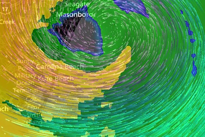
This project developed through conversations among the southeast and Caribbean region National Estuarine Research Reserves while discussing the need to respond to regional hurricanes including Dorian, Michael, Florence, Maria, Irma, and Matthew. Storm events damage not only the built infrastructure of local communities, but also the natural areas within and surrounding the reserves. The reserves wanted tools to help communicate about storm impacts using monitoring data and information collected through the System-wide Monitoring Program (SWMP), including salinity, dissolved oxygen, wind speed and direction, rainfall, and water depth. By pairing water quality and meteorological data with visible impacts, reserves can illustrate storm impacts and connect local communities to science.
The final communications products include pictures, hurricane path maps, SWMP data analyses and visualizations, and text to help connect the quantitative storm story to the visual impacts observed in reserve local communities. Tools that enable communication about storms with local communities allow reserve educators and local teachers to discuss storm event impacts with their students. They also enable the Coastal Training Program to communicate with natural resource managers and local decision makers about observed negative environmental changes such as fish kills, increases in invasive vegetation, and native vegetation die-off.
The impact
- Reserves gain access to templates – created using R Studio, Excel, PowerPoint, and ArcGIS Story Map – and an intuitive, replicable companion document that helps reserves and reserve staff analyze, visualize, and contextualize storm events. These tools help illustrate how hurricanes impact coastal communities and water quality.
- Outreach and communications enhance awareness of SWMP data and the coordinated monitoring programs of the NERRS that help improve resilience and decision-making ability for resource managers. The products and processes also demonstrate new ways SWMP data can be incorporated into NERRS programming.
- The products developed via this project are expandable to all NERRS and transferable to different extreme weather events experienced by reserves. Both the templates and the process used to develop them can be adapted for other regions, programs, and organizations interested in communicating about storm events using monitoring data.