The Atlantic Intracoastal Waterway was completed in 1940 to allow ships to travel up and down the coast without having to go into the open ocean. Dredging destroyed habitats, but small channels can still be conserved for coastal wetlands. In northeast Florida, a number of groups are trying to better understand boat traffic in small estuary channels because boat wakes can cause shoreline erosion, damage habitats and make coastal areas more vulnerable to rising seas.
About this resource
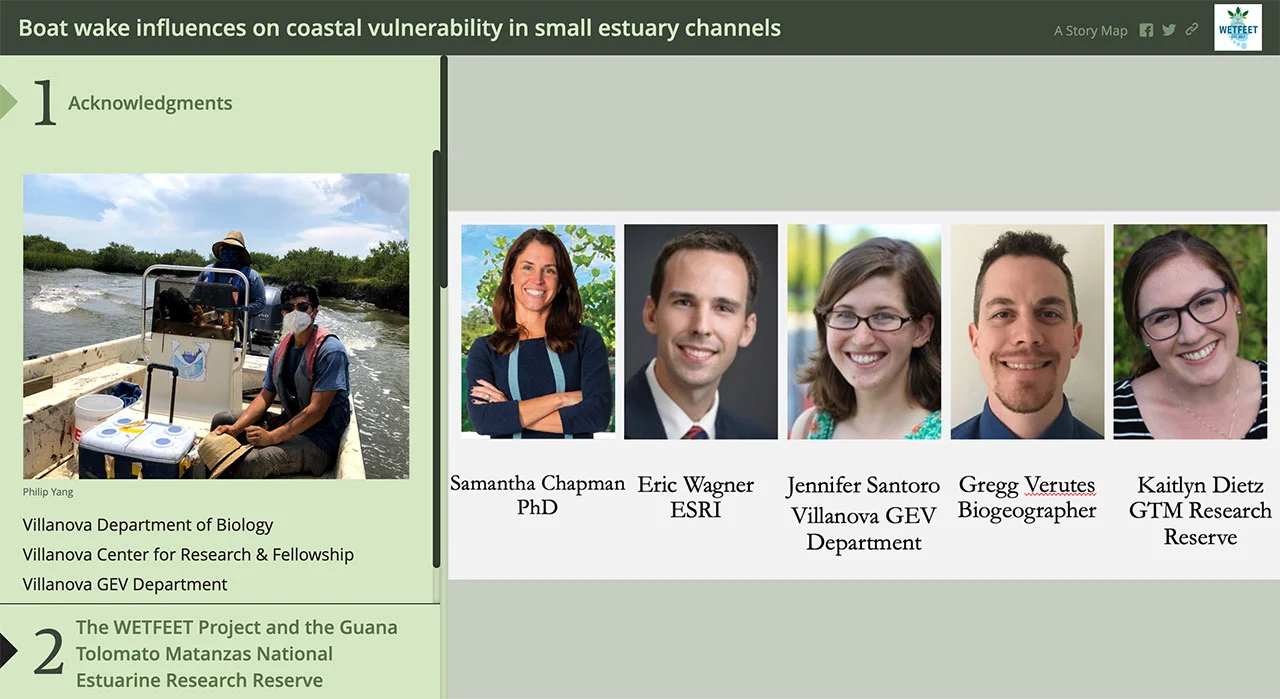
This story map is a combination of web maps that integrates information and media to help explain the impact of boat wakes in GTM Reserve. With the help of the Coastal Training Program at the GTM Reserve, a project team gathered boat wake observations from GTM employees, fishing groups, and ecotourism organizations. The collected data are being used to visualize boat wake intensity and estimate coastal vulnerability in the Atlantic Intracoastal Waterway, with the goal of promoting targeted habitat protection and better boating management policy in the region.