Recent research within National Estuarine Research Reserve System (NERRS) sites has revealed striking changes in plant communities that seem to be caused by rising seas, including shifts toward more flood tolerant species, lower overall plant diversity, and in some cases growing swaths of bare ground. This "National Synthesis of Tidal Marshes to Detect Impacts of Climate Change across Multiple Scales" project leverages the Reserve System’s geographic diversity, nationally coordinated monitoring program, communication networks, and strong record of collaborative research to conduct a groundbreaking national study examining how marsh plant communities are responding to climate change.
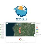
Using data from NERRS marsh monitoring sites, this GIS-based tool displays local environment (tide and salinity range, management actions), monitoring design (transect placement, zone assignment) and methods (cover estimates, SET protocol), as well as additional spatial information (e.g., plant plot waypoints, Reserve boundaries, SWMP CLUE, Landscape resilience scores).