About the project
Blue carbon storage - carbon sequestration in coastal wetlands - can help coastal managers and policymakers achieve broader wetlands management, restoration, and conservation goals, in part by securing payment for carbon credits. Despite considerable interest in bringing wetland restoration projects to market, the transaction costs related to quantifying greenhouse gas fluxes and carbon storage in restored marsh has been a significant limiting factor to realizing these projects. To reduce transaction costs, the Bringing Wetlands to Market research team developed a verified and generalized model that can be used across New England and the mid-Atlantic East Coast to assess and predict greenhouse gas fluxes and potential wetland carbon across a wide environmental gradient using a small set of readily available data.
About the data
The Bringing Wetlands to Market research team developed the Coastal Wetland Greenhouse Gas Model (CWGM) 2.0 using data from 26 tidal wetlands along the U.S. mid-Atlantic and northeast coasts. New data was collected to verify and generalize this model and to support a blue carbon market feasibility study for the Herring River Restoration project. The research team generated the following five related greenhouse gas flux, carbon storage and environmental variable datasets, described in the dataset description:
- Instantaneous greenhouse gas flux data and environmental variables for natural (downstream of structure) and restored (upstream of structure) areas of four Cape Cod marshes and three natural marshes in Rhode Island
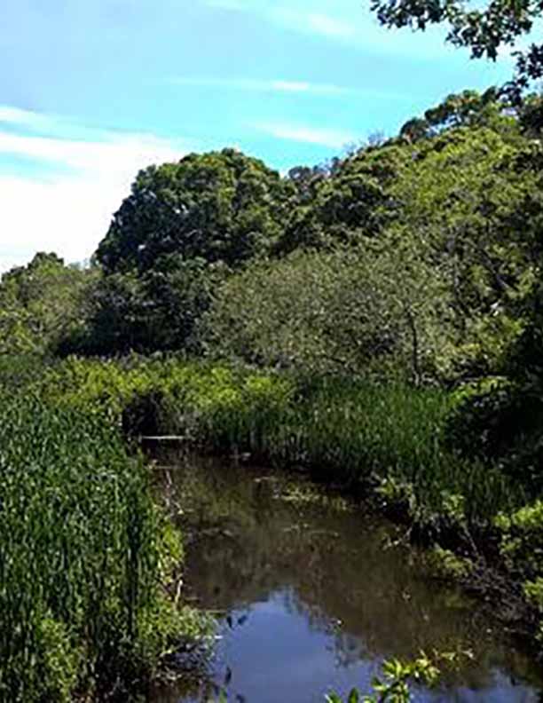
- Instantaneous greenhouse gas flux data and environmental variables in four ecosystems (dry forest, wet forest, wet, cattail, and phragmites) in the Herring River estuary
- Carbon burial data for natural (downstream of structure) and restored (upstream of structure) areas of four Cape Cod marshes
- Carbon burial data for four ecosystems (dry forest, wet forest, cattail, and phragmites) in the Herring River estuary
- Continuous environmental variables (PAR, soil and air temperature, water level, water temperature, salinity) in four ecosystems (dry forest, wet forest, wet, cattail, and phragmites) in the Herring River estuary. Available at the U.S. Geological Survey ScienceBase Catalog
Data access
Data from this project will be archived and publicly available in September 2021. See the dataset description for contact information to request access to datasets prior to September 2021.
For project information and all other questions, contact:
James Rassman, Waquoit Bay National Estuarine Research Reserve, [email protected]