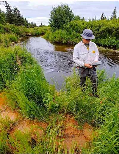
As communities in Alaska ’s Kenai Lowlands prepare for a changing climate, information about groundwater is essential to manage the watershed for both people and salmon.
To better understand the availability of groundwater and how human activities impact this resource, a collaborative research project led by the Kachemak Bay National Estuarine Research Reserve and University of South Florida built a model that shows the depth and extent of aquifers and predicts groundwater discharge and recharge. The project team joined this new science with local expertise to interpret the groundwater model for use in land use planning, permitting, policy decisions, and habitat protection.
About this resource
The geodatabase offers a foundation for decision-making around groundwater in Alaska ’s Kenai Lowlands. It can be used to show the depth and location of aquifers and predict groundwater discharge to streams. This information can help create vulnerability maps to show where human activities have the highest impact on aquifers and to identify locations where impacts would be less.
The geodatabase was created using available data to map factors that reveal where groundwater is located or that impact groundwater discharge. It contains 12 geospatial data layers related to climate, geological and topographical factors, vegetation, stream solute concentrations and temperatures, human impacts, and water supply well locations. Well Log Tracking System data were used to delineate watersheds and identify where seeps and springs (i.e., groundwater discharge) are likely to occur. The model was validated by field observations and optimized to show both shallow hillslope groundwater discharge (released to streams and wetlands over weeks to months) and deeper groundwater flows (released to the surface over years to decades).
The geodatabase is expected to be available in 2021, hosted at the University of Alaska Achorage Alaska Center for Conservation Science website.
In the meantime, for questions or to request access to the geodatabase, contact:
Coowe Walker, Kachemak Bay NERR, [email protected]