About the project
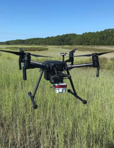
The 2020-2022 catalyst project Bridging the gap between quadrats and satellites: assessing utility of drone-based imagery to enhance emergent vegetation biomonitoring conducted a regionally coordinated effort, working in salt marshes and mangroves within six reserves in the Southeast and Caribbean. The team developed, assessed and collaboratively refined a UAS-based tidal wetlands monitoring protocol aimed at entry-level UAS users.
About the data
The dataset description outlines the parameters measured, locations studied, and the data file format for the twelve datasets generated by the project:
- Field wetland vegetation survey at North Carolina (NOC) NERR
- UAS wetland vegetation survey at North Carolina (NOC) NERR
- Field wetland vegetation survey at North Inlet-Winyah Bay (NIW) NERR
- UAS wetland vegetation survey at North Inlet-Winyah Bay (NIW) NERR
- Field wetland vegetation survey at Ashepoo, Combahee, Edisto Basin (ACE) NERR
- UAS wetland vegetation survey at Ashepoo, Combahee, Edisto Basin (ACE) NERR
- Field wetland vegetation survey at Sapelo Island (SAP) NERR
- UAS wetland vegetation survey at Sapelo Island (SAP) NERR
- Field wetland vegetation survey at Guana Tolomato Matanzas (GTM) NERR
- UAS wetland vegetation survey at Guana Tolomato Matanzas (GTM) NERR
- Field wetland vegetation survey at Jobos Bay (JOB) NERR
- UAS wetland vegetation survey at Jobos Bay (JOB) NERR
Data access: The datasets for this project have been archived with the NERRS Centralized Data Management Office and can be downloaded after completing a data request form. Click the blue "Request Data" button in the upper right corner of this page.
Questions about these datasets can be directed to:
Brandon Puckett, North Carolina NERR, [email protected]