About the project
The 2016-2020 collaborative research project Improved Understanding of Sediment Dynamics for the Coos Estuary sought to fill data gaps critical to addressing a range of Coos estuary management needs. The project team collected and compiled sediment and hydrodynamic data from the estuary and its watershed. This information was used to produce a new bathymetric dataset for Coos Bay and develop a hydrodynamic model that characterizes sediment distribution and circulation in the estuary. Research findings and analysis are available in two journal articles that discuss Coos estuary shoreline and bathymetric change and estuarine exchange flow.
About the data
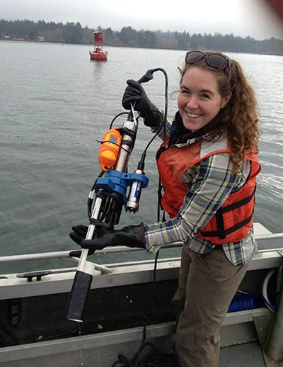
The project generated seven related datasets that include field observations and hydrodynamic model outputs. The dataset description outlines field data collection types, methods, and locations, and provides information about model outputs.
Individual datasets are available at the links below, or may be requested as a single package by following the blue data request button to the top right of this page.
- Single beam echosounder data for Coos Bay bathymetry.
- Water property profiles
- Water velocity profiles
- Grain size distributions
- Water property time series
- Discharge of Winchester Creek. Data publicly available from the Coos Watershed Association.
- Hydrodynamic model output for year 2014. See the dataset description for the examples of the scenarios tested using the model.
Questions about these datasets can be directed to:
David Sutherland, University of Oregon, [email protected]