This catalyst project used satellite and aerial imagery, unmanned aerial systems, and in situ data observation to assess a broad suite of existing marsh vulnerability metrics and develop new recommendations specific to conditions in coastal South Carolina.
The Project
Home to roughly one third of the Southeast's estuarine salt marsh acreage, South Carolina faces escalating local and state concerns over marsh vulnerability due to rising sea levels. In 2021, the ACE Basin and North Inlet – Winyah Bay (NI-WB) NERRs used capacity building funds to convene a community of managers, regulators, and scientists interested in identifying appropriate methods to assess salt marsh health in South Carolina. As part of this effort, participants expressed interest in exploring appropriate marsh vulnerability metrics – and the associated thresholds that inform decision making – as a possible first step toward understanding the impacts of increasing rates of sea level rise on marshes and developing appropriate restoration strategies.
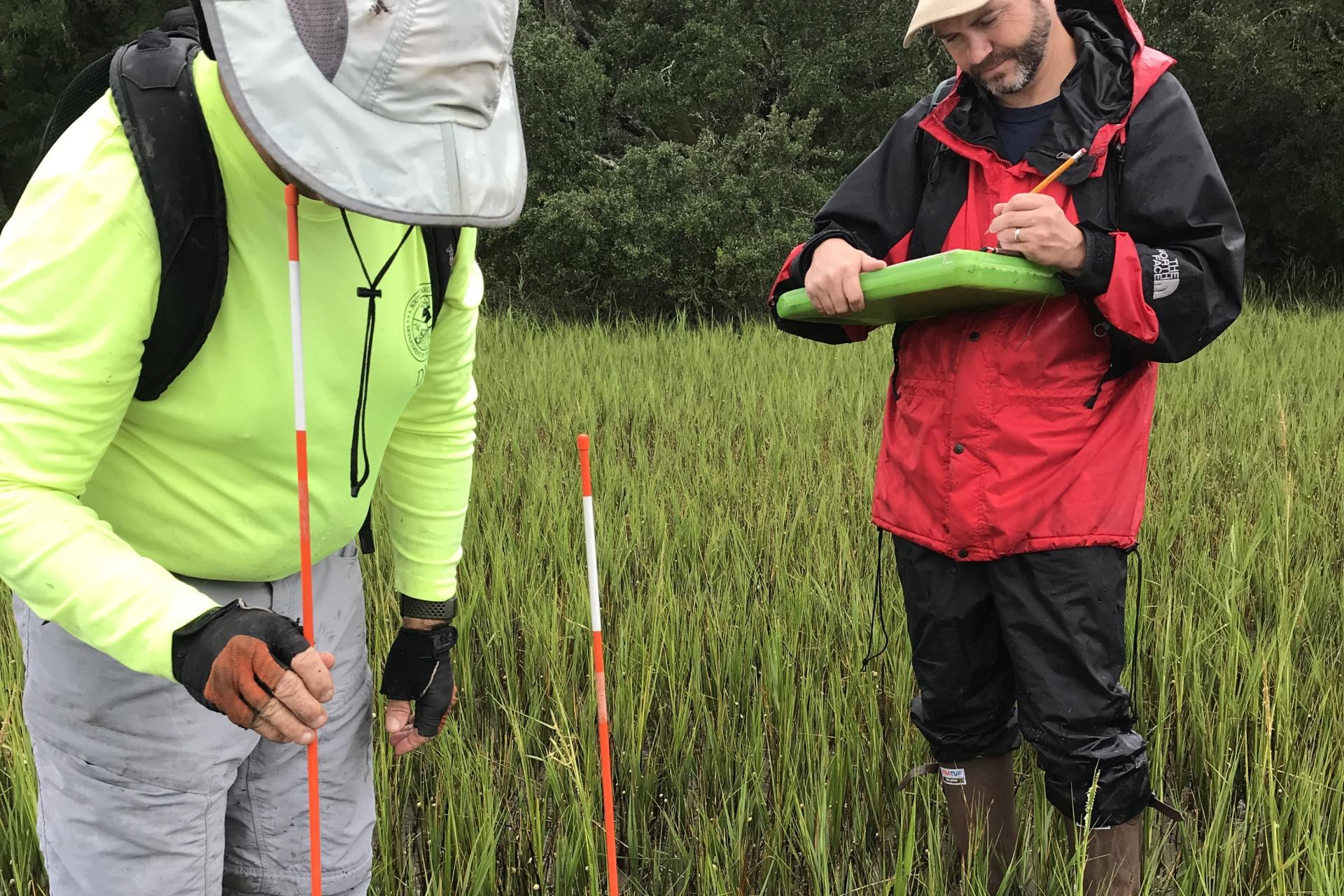
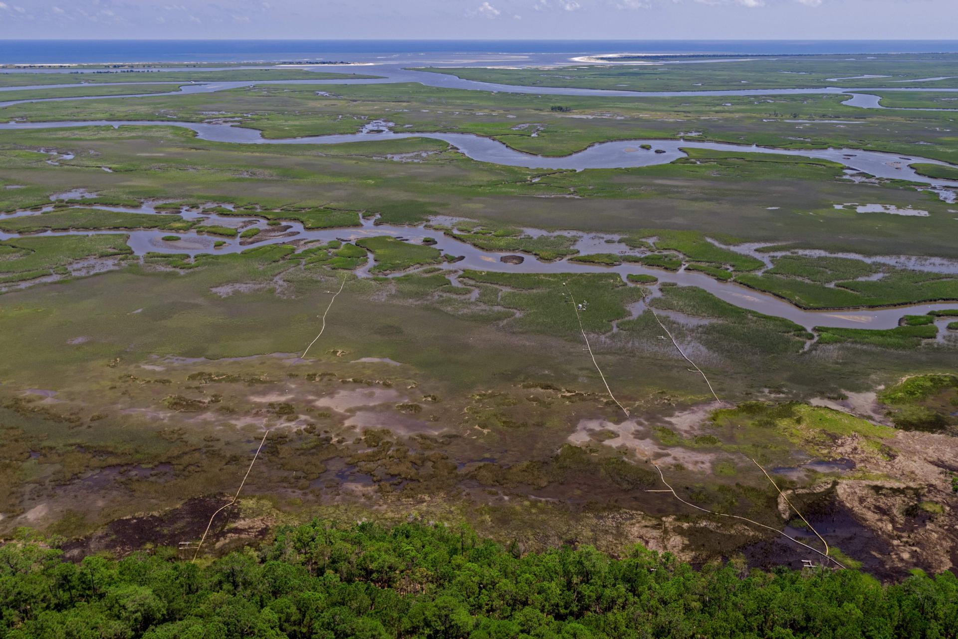
While a variety of marsh vulnerability metrics have been developed nationally, their direct applicability to Southeastern marshes posed a knowledge gap, potentially due to the sparse vegetation densities that are common across the region. Knowing that several informative metrics could be derived from remotely sensed data, the team’s approach utilized satellite and aerial imagery, unmanned aerial systems (UAS), and in situ observation to assess existing marsh vulnerability metrics at multiple spatial scales at the two South Carolina reserves. In exploring the applicability of the existing metrics and thresholds, the team found that the unique nature of South Carolina’s salt marshes – largely Spartina alterniflora monocultures that vary spatially and temporally in terms of how sparsely vegetated or covered in water they are – result in higher Unvegetated to Vegetated Ratio (UVVR) thresholds, variability in Marsh Resilience to SLR (MARS), and variability in Normalized Difference Vegetation Index (NDVI) calculations. These findings have major implications for marsh management recommendations as decision makers use these metrics to estimate whether marshes are keeping pace with rates of sea level rise. In particular, the imagery and analyses produced through this project have demonstrated the unique nature of southeastern salt marshes which needs to be considered when evaluating South Carolina marshes.
The Impact
- Identified inconsistencies among the various vulnerability metrics the team explored and set the stage for future research to better understand how and why these metrics vary, and whether there are appropriate thresholds for the region.
- Created new and strengthened existing collaborations between the South Carolina NERRs and regional intended users.
- Enhanced potential to support local communities’ decision making and management of salt marshes in the face of increased vulnerability resulting from sea level rise.