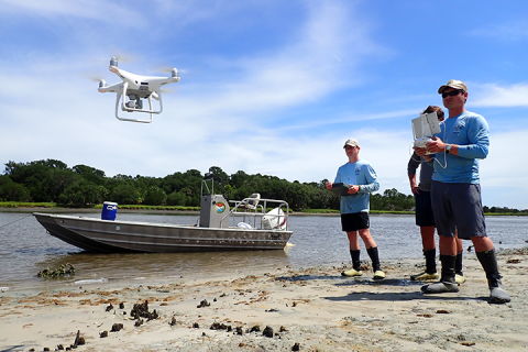
This project brought together oyster reef managers along the southeastern United States to evaluate the use of uncrewed aerial systems (UAS), or drones, as a novel tool for measuring changes in oyster reefs.
The Project
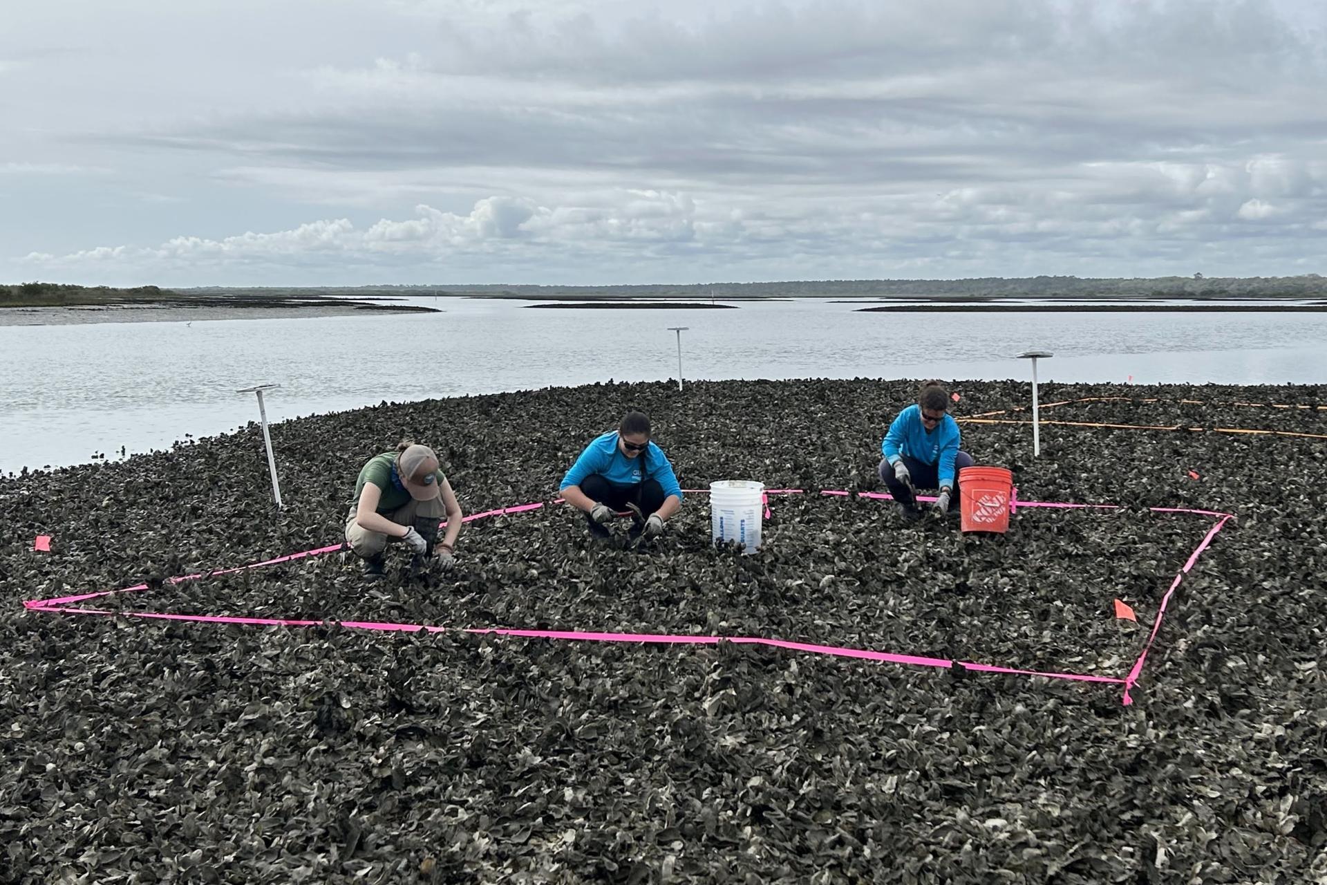
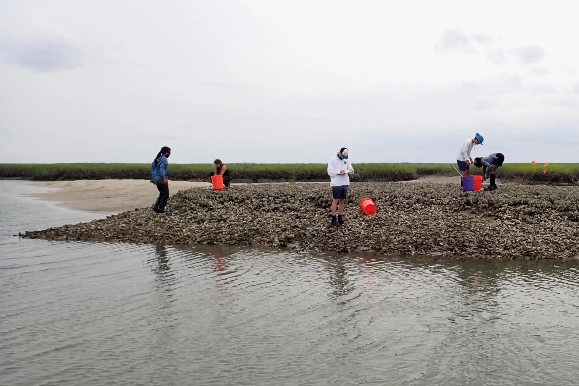
Oyster reefs in the southeastern United States offer an abundance of ecosystem services and support both recreational and commercial fisheries. To protect and enhance oyster reefs, resource managers in the southeastern United States need accurate and timely information to guide decisions on fishery closures and restoration efforts. Oyster resource managers and NERR staff in FL, GA, SC, and NC often rely on conventional monitoring approaches to inform management and restoration decisions, but these approaches have limitations. For example, methods like boat-based surveys and in situ quadrat sampling are time consuming and limited by spatial scale.
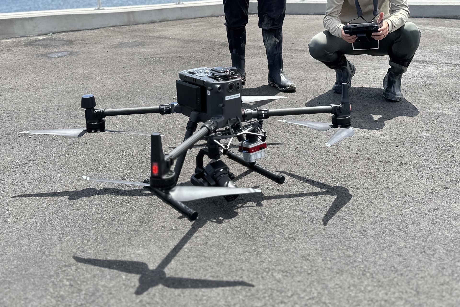
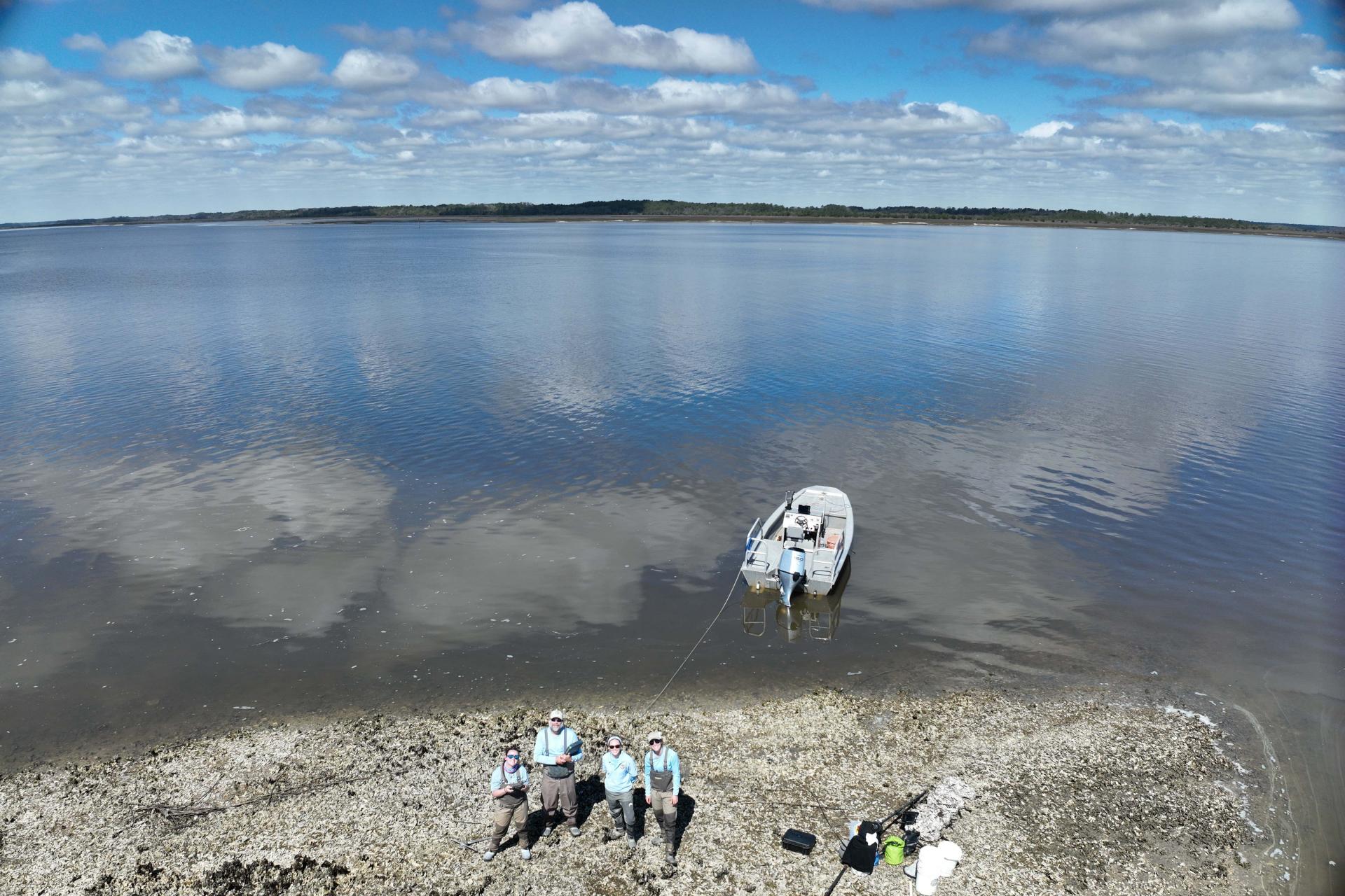
To overcome these limitations, this project evaluated the use of uncrewed aerial systems (UAS), or drones, as a novel tool for measuring reef structural and demographic characteristics relevant to reef function. Building on a previous collaborative initiative (NERRS Science Collaborative 2020 Catalyst), this project brought together oyster resource managers and restoration practitioners across four states. Together, the team developed and refined workflows for using drones to monitor key oyster reef metrics of interest across the region. The workflows provide standard procedures for data collection, analyzing drone imagery and generating estimates of:
- reef height and elevation;
- rugosity;
- reef footprint and area;
- shell substrate and oyster percent cover;
- shell volumetric change; and,
- oyster density and size structure.
These workflows have built technical capacity for the use of drones at the Reserves and state resource agencies. Application of the workflows has demonstrated that drones offer the capability to collect accurate, high resolution remote sensing data across entire reefs at a fraction of the cost of traditional sampling approaches. Integrating drones with existing oyster reef assessment efforts is allowing managers to map and model oyster reef ecosystem function and services on a scale that was previously unachievable.
The Impact
- Facilitated the analysis of oyster reefs on scales that were not feasible with in situ field measurement.
- Inspired deeper interstate collaboration in support of oyster resource management.
- Enabling the development of an integrated, multi-metric index of reef condition that can be used to support management and restoration decision making.
- Expanded monitoring capacity for the Reserves, state resource agencies, and researchers. Use cases include:
- The South Carolina Department of Natural Resources (SCDNR) is actively using the workflows for reef elevation, rugosity, footprint, and volumetric change to: 1) monitor state-managed recreational and commercial oyster harvesting grounds; and 2) monitor oyster restoration projects around the ACE Basin NERR.
- Researchers at NOAA are applying the workflows to: 1) evaluate the success of oyster restoration projects in NC and SC; 2) evaluate wave attenuation as a function of reef elevation, rugosity, and slope; and 3) monitor the effectiveness of oyster relocation efforts associated with a dredge mitigation project.
- NC Division of Marine Fisheries is using the workflows to improve the data collection of a pilot intertidal oyster sentinel site monitoring program designed to inform resource management by generating a time series of improved habitat quality metrics and fishery-independent biological data.
- Researchers at East Carolina University are using the density and rugosity workflows to assess how reef structure influences wave energy across reefscapes.
- The Georgia Department of Natural Resources plans to use workflows to assist managers with comparing restored intertidal oyster reefs to target ecological references to evaluate restoration success.