This project improved understanding of sediment dynamics around the Rachel Carson Reserve in North Carolina to inform ongoing resilience planning efforts for vulnerable coastal habitats and local infrastructure.
The Project
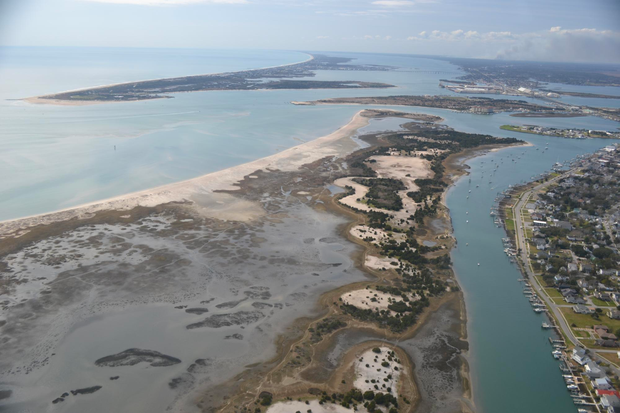
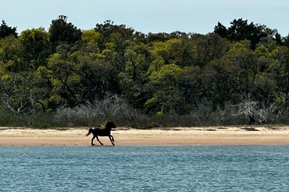
The Rachel Carson Reserve in North Carolina consists of a group of islands connected by a series of shoals and channels that are home to a diverse array of coastal habitats. Over the past 60 years, significant shoreline erosion has widened the Beaufort Inlet, located just south of the Reserve. To inform engineering practices at the Beaufort Inlet and plan for the resilience of local infrastructure and vulnerable coastal habitats, the Reserve and coastal resource managers need to understand how these geomorphic changes have impacted sediment movement in the area.
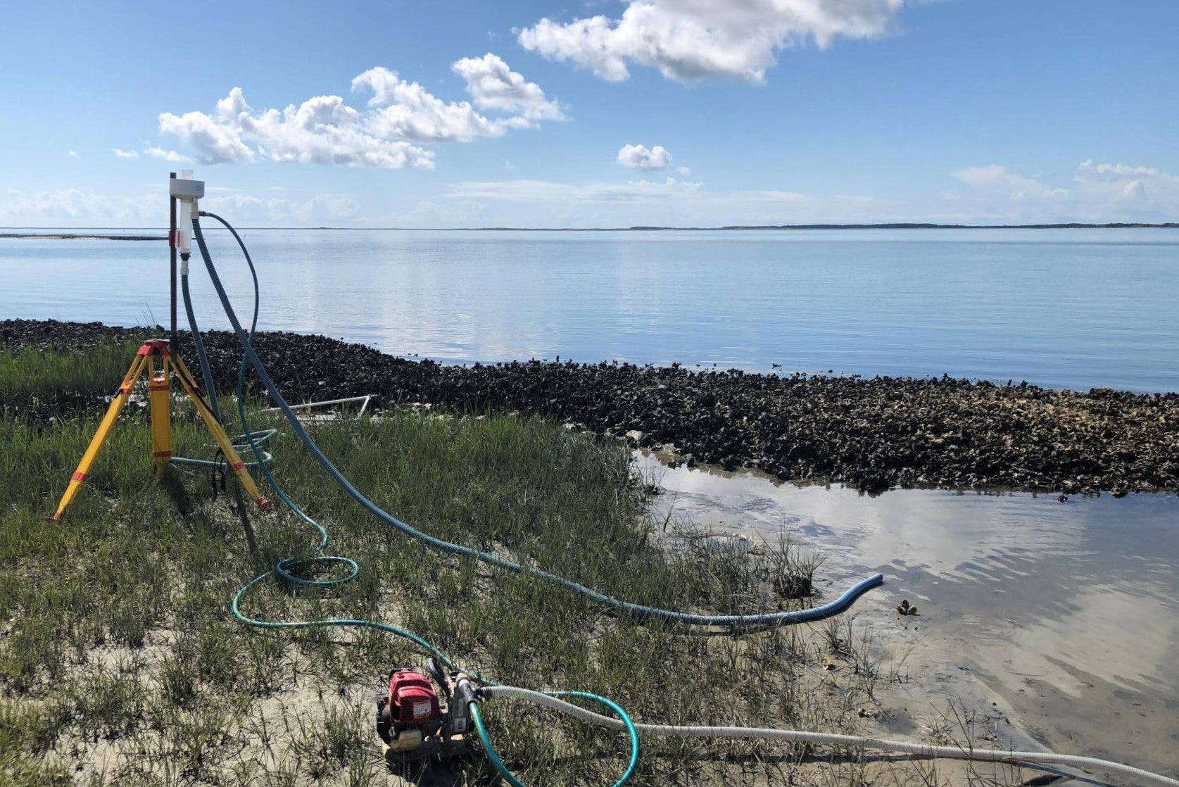
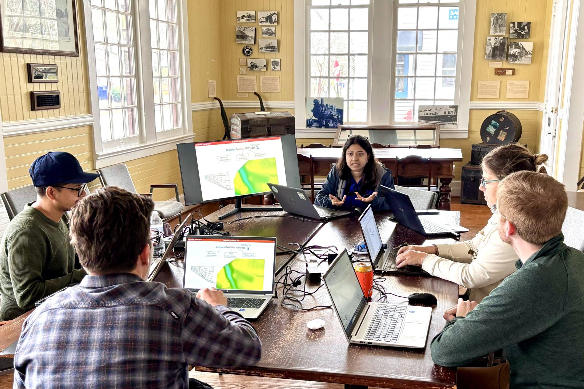
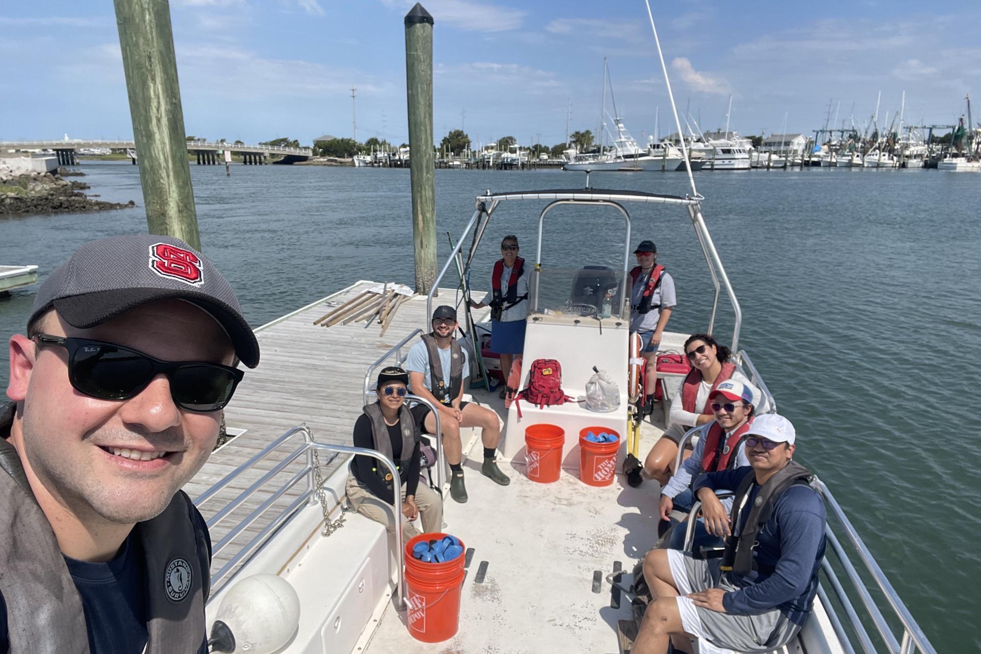
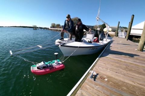
The project team, in collaboration with the N.C. Coastal Reserve and NERR, produced a numerical model that simulates sediment dynamics at and around the Reserve. The collaborative approach was centered on the direct involvement of members of the N.C. Coastal Reserve and NERR as part of the project team, enabling them to directly and actively guide the project’s technical aspects, from planning field data collection campaigns to defining scenarios for the application of the numerical model. Such direct involvement was also key when transferring the numerical model to members of the N.C. Coastal Reserve and NERR, increasing the effectiveness of training efforts that were undertaken toward the end of the project. In addition to the N.C. Coastal Reserve and NERR, the project team also collaborated with other relevant end users, including the US Army Corps of Engineers Wilmington District, the Town of Beaufort, the Cape Lookout National Seashore, the Carteret County Shoreline Protection Office, Kris Bass Engineering, and NC State Extension.
The numerical model enables the N.C. Coastal Reserve and NERR to predict the complex interactions between extreme storm events, river systems, and other coastal processes that influence sediment movement at and around the Reserve. Key research findings from this numerical model indicated that, as a result of a widening Beaufort Inlet, the water flow’s capacity to move sediment has progressively changed, increasing along shores located in the inlet’s vicinity and reducing along shores and channels located further inland. Notably, predictions from the numerical model indicated that these changes were exacerbated when considering hurricane-like conditions, more than doubling water flow’s erosive forces along shores located in the inlet’s vicinity. These research findings suggest that storm events and major hurricanes are important catalysts of large-scale geomorphic changes at and around the Reserve.
The numerical model’s findings allowed the project team to map the vulnerability of shores at and around the Reserve. The maps highlighted that not all areas within the Reserve have the same level of vulnerability to pronounced geomorphic changes. For example, shores located in the inlet’s vicinity were found to be consistently more vulnerable to continued geomorphic change, whereas the vulnerability of shores and channels located further inland depended upon the considered flow condition (e.g., monthly average vs. hurricane-like). By deepening understanding of spatial vulnerability and its drivers, the maps are helping the N.C. Coastal Reserve and NERR to identify hotspots of geomorphic change and targets for adaptive management strategies while informing effective resilience planning for critical habitats and infrastructure in the region.
The Impact
- Filled critical data needs and provided the N.C. Coastal Reserve and NERR with a functional tool to characterize spatial and temporal variability of sediment dynamics at and around the Reserve, increasing the feasibility of implementing future engineering and restoration projects.
- Generated quantitative understanding of how the changing geomorphology of the Beaufort Inlet has impacted sediment movement in the area, including uncovering the role of storm events and major hurricanes in catalyzing large-scale geomorphic changes in the vicinity of the Beaufort Inlet.
- Helped identify coastal areas that are most vulnerable to continued geomorphic change in the face of storm events and major hurricanes, providing actionable information that can be readily translated into management strategies.
- Strengthened the collaboration between the project team and the N.C. Coastal Reserve and NERR, resulting in the pursuit of additional synergistic efforts like external field data collection campaigns and additional funding opportunities to address other reserve management needs.