Webinar Summary
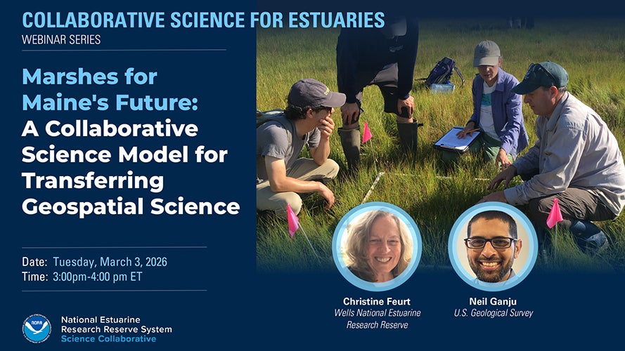
Marshes for Maine’s Future used an innovative Collaborative Learning approach to facilitate the application of geospatial tools developed by USGS to marsh projects in Maine. The tools provide a scientific framework for supporting decision-makers who actively research and manage climate-induced changes in marsh resilience and vulnerability. The project team developed a series of virtual and in-person knowledge sharing workshops where the USGS creators of the geospatial products could interact with salt marsh professionals working on marsh resilience projects that could benefit from applying the tools. Applying the geospatial tools during these workshops contributed to work protecting, restoring, and managing Maine’s salt marshes.
The project’s final products include a step-by-step guide called “How to Catalyze Geospatial Science to Build Marsh Resilience,” which is for Training and Engagement professionals and geospatial tool designers who want to design, implement, and evaluate projects that produce effective and efficient outcomes that achieve resilience goals and maintain ecosystem services. In this webinar, project lead Chris Feurt and technical lead Neil Ganju share the geospatial tools that were transferred as part of this project, as well as the adaptations and collaborative processes used to fit the tools to the needs of the marsh managers in the region.
Webinar Summary Products
- Webinar Recording (YouTube)
- Speaker Bios (Webinar page)
- Slide Deck (PDF)
- Resources referenced in the project (Google Drive folder)