The Wells Reserve facilitated an innovative Collaborative Learning process using newly developed USGS geospatial tools to respond to locally identified needs to protect, restore and manage salt marshes in Maine.
The Project
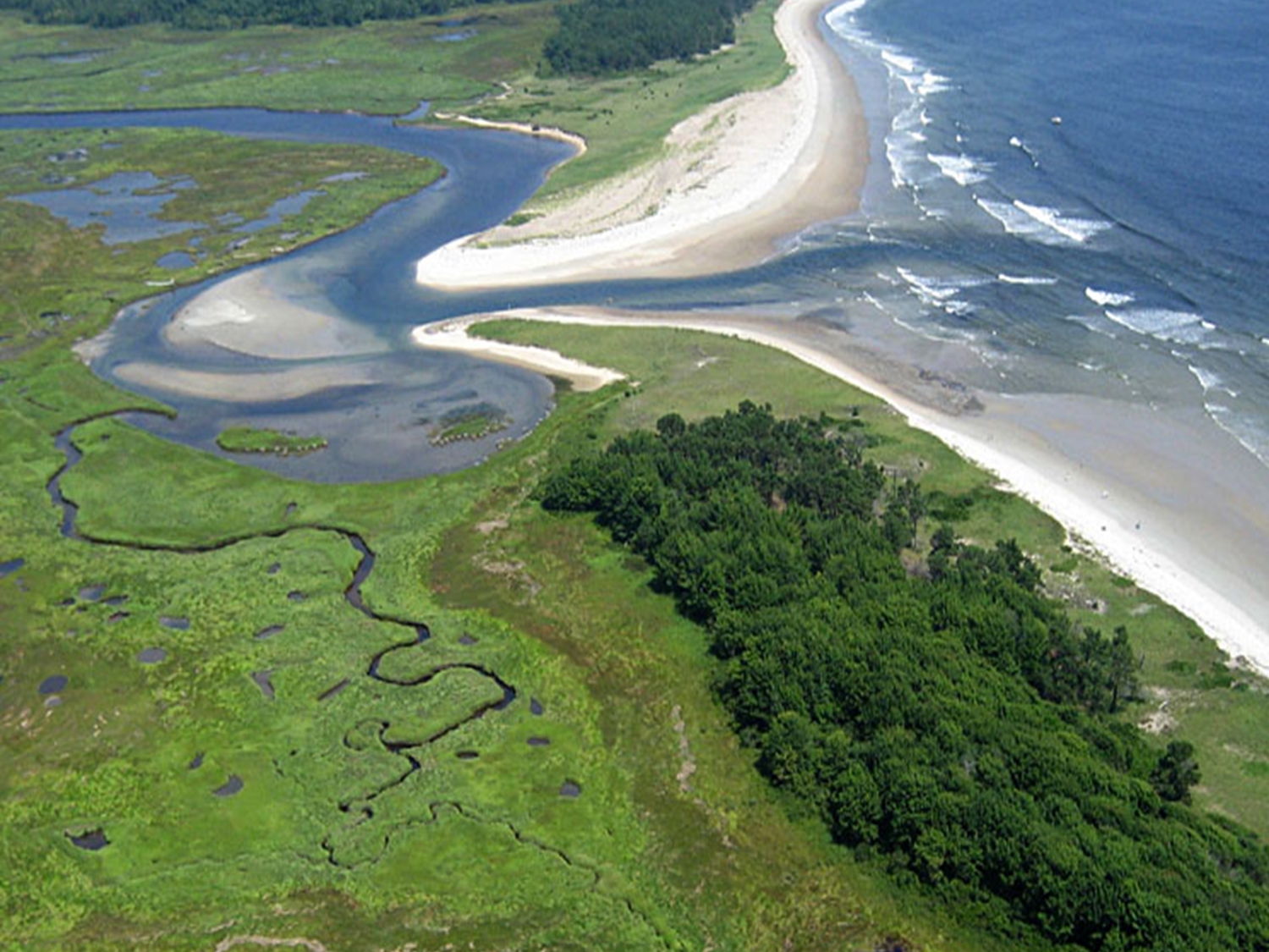
In Maine, salt marsh resilience is threatened by sea level rise, development, erosion and a legacy of hydrologic changes associated with agricultural practices. The Gulf of Maine’s estuaries and coastal wetlands provide essential habitat for two-thirds of all commercially valuable species. Marshes support migratory and resident birds. Coastal communities benefit from marshes’ ability to buffer storms, filter pollution from water, and capture and store carbon. A number of organizations in Maine collaborate around the shared goal of protecting the state’s marshes – so much so that the goals of this project and others align with those outlined in the state’s climate action plan, Maine Won’t Wait, and its tidal crossing mitigation project, Coastwise. This project responded to needs identified by Maine salt marsh managers to build resilience and protect the value of the state’s marshes.
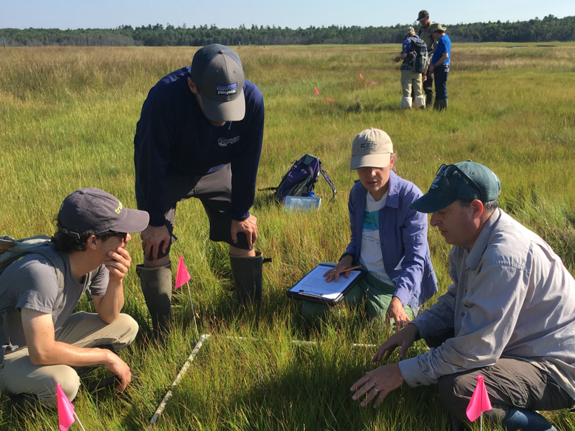
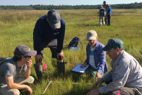
The Wells Reserve reached out to the leaders of a U.S. Geological Survey (USGS) project, “Science to Support Marsh Conservation and Management Decisions in the Northeastern United States,” to transfer their newly developed geospatial tools linking landscape integrity with coastal hazards. The USGS tools provided a scientific framework for supporting decision-makers who actively research and manage environmental changes in coastal resilience and vulnerability - a good fit for Maine marsh managers. As part of the project, USGS scientists expedited the data for Maine marshes to make the tools available for the project. The project provided valuable feedback to the tool designers. Five knowledge-sharing workshops, all designed using a Collaborative Learning Approach, provided opportunities for multidirectional exchange of knowledge among geospatial tool developers and Maine marsh managers. The team employed a suite of Collaborative Learning techniques to facilitate knowledge exchange and technology application, the most powerful of which being the application of the geospatial tools in active marsh projects via an iterative process that produced case studies which revealed the real-world strengths and weaknesses of the tools.
The Impact
- Marshes for Maine’s Future aligned with ongoing and rapidly evolving marsh restoration statewide and deepened Wells Reserve’s role as an essential collaborator and facilitator of science-based decision making.
- The project team prioritized user engagement as early as the pre-proposal stage, which promoted active participation in all workshops throughout the grant period. Project design occurred over a six month period prior to submitting a proposal, guided by Wells Reserve and USGS. The project team formed during this period as a result of iterative meetings that established the relevance and time and task commitments required by the project.
- The Collaborative Learning approach used in the workshops facilitated peer-to-peer learning. USGS geospatial tool developers created a learning environment that was open to feedback from the Maine marsh managers. The team adapted aspects of the tools to fit the needs of the managers. Participants of the in-person workshops benefited from lessons learned during virtual workshops that preceded them.
- Maine marsh managers engaged with each other and the USGS tool developers with a focus on geospatial tool application in their work. In-person workshops also provided the opportunity for sharing challenges and accomplishments embedded in the marsh conservation, restoration, and management case studies developed by each team member. Examples included marsh migration policy, land owner communication, funding, and building practitioner skills in restoration techniques. The team documented these discussions in a needs assessment for future work with the Wells Reserve and project team.
- The practitioner-oriented guide the team developed, titled Marshes for Maine’s Future - A Collaborative Learning Approach for Geospatial Tools Training and Engagement in the NERRS, is a model for designing and implementing geospatial and technology transfer processes. The guide highlights methods, job aides and learning strategies developed during the project, and is intended for Training and Engagement professionals and geospatial tool designers who want to join forces to design, implement and evaluate projects that produce effective and efficient outcomes to achieve resilience goals and maintain ecosystem services.