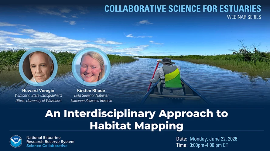
Webinar Summary
The St. Louis River estuary runs along the boundary between Minnesota and Wisconsin in the Duluth-Superior metro area at the headwaters to Lake Superior. Since its designation as a Great Lakes Area of Concern (AOC) in 1987, local land stewards have dedicated decades of remediation and restoration efforts toward improving water quality, removing legacy contaminants, and restoring fish and wildlife habitat. As the estuary approaches AOC delisting, a group of natural resource professionals is collaborating to develop a St. Louis River Habitat Plan to identify strategies for mitigating environmental stressors and prioritize opportunities for habitat restoration.
In response to a need to support the identification and prioritization of areas for future restoration and conservation, a 2023 science transfer project adapted a habitat mapping process developed by the Lake Superior Reserve to a much larger area encompassing 57,000 acres of wetlands and adjacent uplands spanning the lower twenty-one miles of the St. Louis River. Products included a final habitat map as well as an open source workflow that could be repeated in other geographic locations or used to update existing maps and observe change over time. In this webinar, the team discusses the multi-phase approach they took to develop the habitat map, how it is being used, as well as lessons learned.
Webinar Summary Resources
- Full Session Recording (YouTube)
- Speaker Bios (Event Page)
- Slide Deck (PDF)