This science transfer project used a multi-phase approach that included deep learning techniques and geospatial rules to create a habitat map of the St. Louis River estuary.
The Project
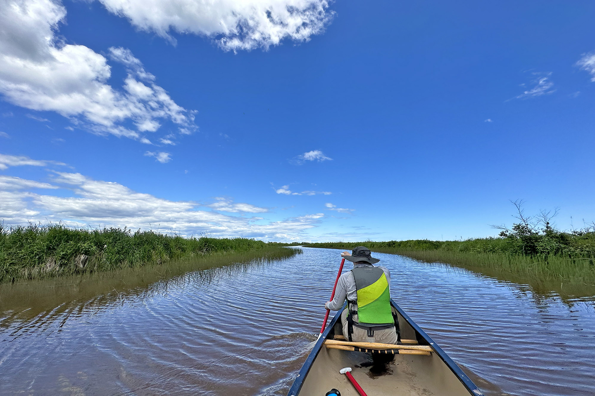
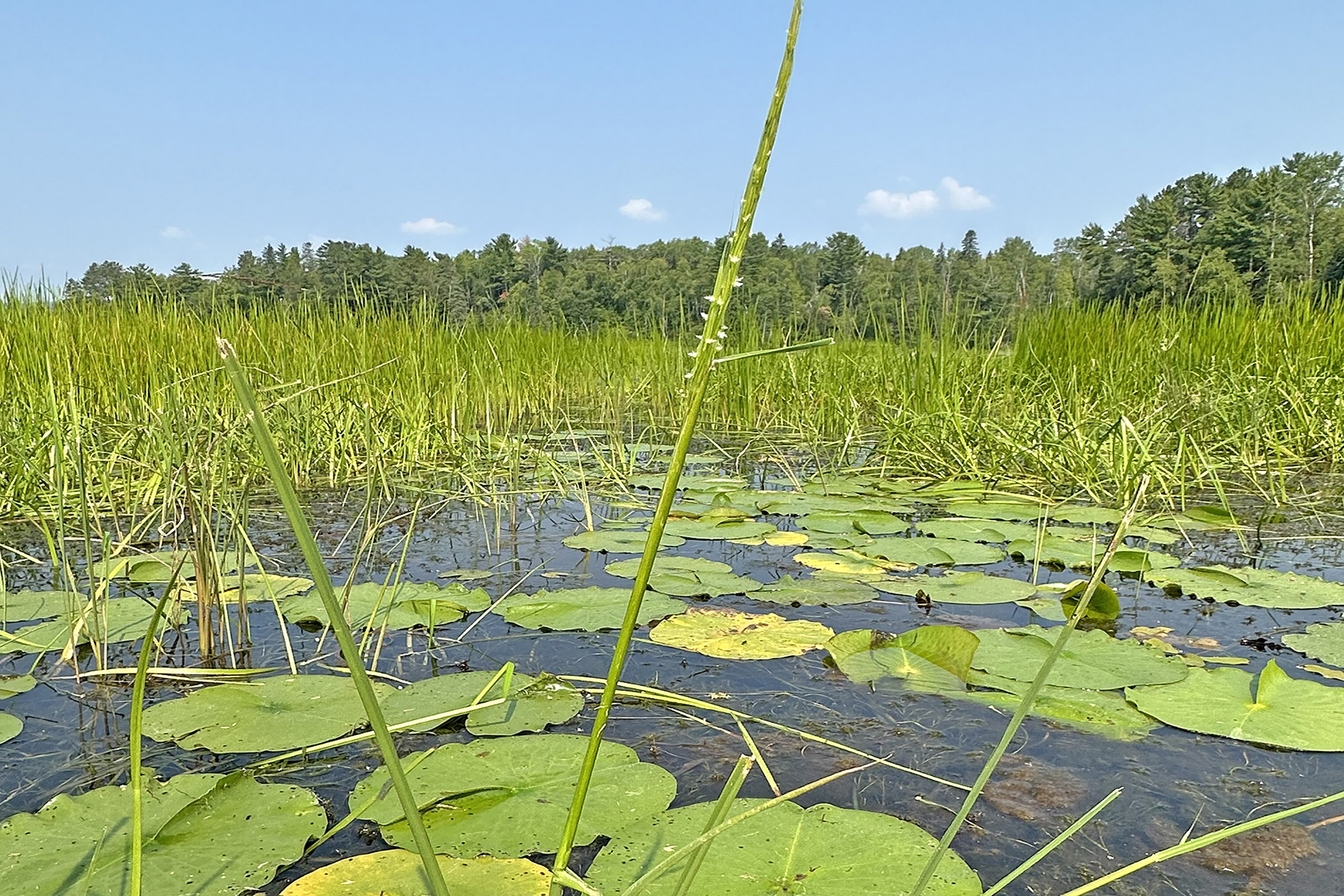
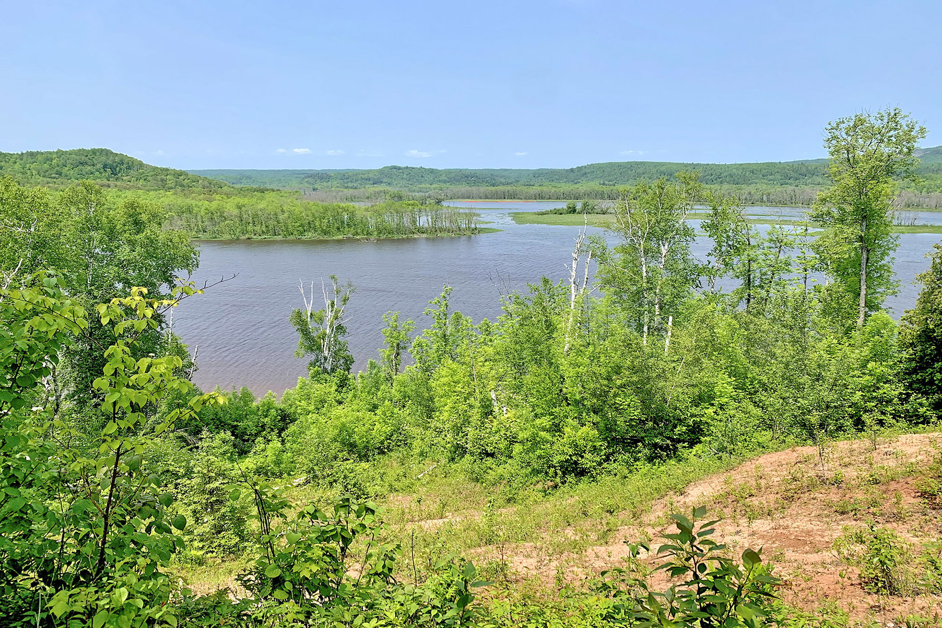
The St. Louis River estuary, which runs along the boundary between Wisconsin and Minnesota in the Duluth-Superior metro area, is a vital resource ecologically, culturally, and economically. The St. Louis River is the largest U.S. tributary to Lake Superior and the second largest tributary in the Lake Superior watershed. In 1987, the Great Lakes Water Quality Agreement designated the 12,000-acre freshwater estuary a Great Lakes Area of Concern because legacy contaminants and disturbances had led to nine key impairments, including loss of fish and wildlife habitat.
This project addressed a need identified by the St. Louis River Habitat Workgroup to better understand current conditions to support the identification and prioritization of areas for future restoration and conservation. The project approach included the transfer of a repeatable habitat mapping process developed by the Lake Superior Reserve and partners to a larger area encompassing 57,000 acres of wetlands and adjacent uplands spanning the lower twenty-one miles of the St. Louis River below the Fond du Lac dam. The team applied accessible image classification methods–including use of common machine learning classifiers and freely available, non-proprietary data–to create a reproducible approach that could be adopted in other locations and redeployed at regular intervals to illuminate change over time. In addition to the habitat map and reproducible workflow, the team also produced a change analysis report comparing the 2024 habitat map to the previous St. Louis River Estuary map from 2002.
The Impact
- The St. Louis River Habitat Workgroup is poised to use the updated 2024 habitat map to better understand conditions, think about resilient and sensitive habitats, and identify conservation and restoration needs within the estuary.
- Providing the repeatable workflow as an open access resource will facilitate updates to existing maps and future habitat mapping efforts in other regions.
- Change analysis with future maps positions the Habitat Workgroup to explore long-term effects of climate change, flood events, and remediation and restoration efforts on habitats in the St. Louis River Estuary.
- Participation in the project deepened established relationships among the Habitat Workgroup, the Lake Superior Reserve, and other project team members, including the Wisconsin State Cartographer’s Office and University of Minnesota U-Spatial.