About the project
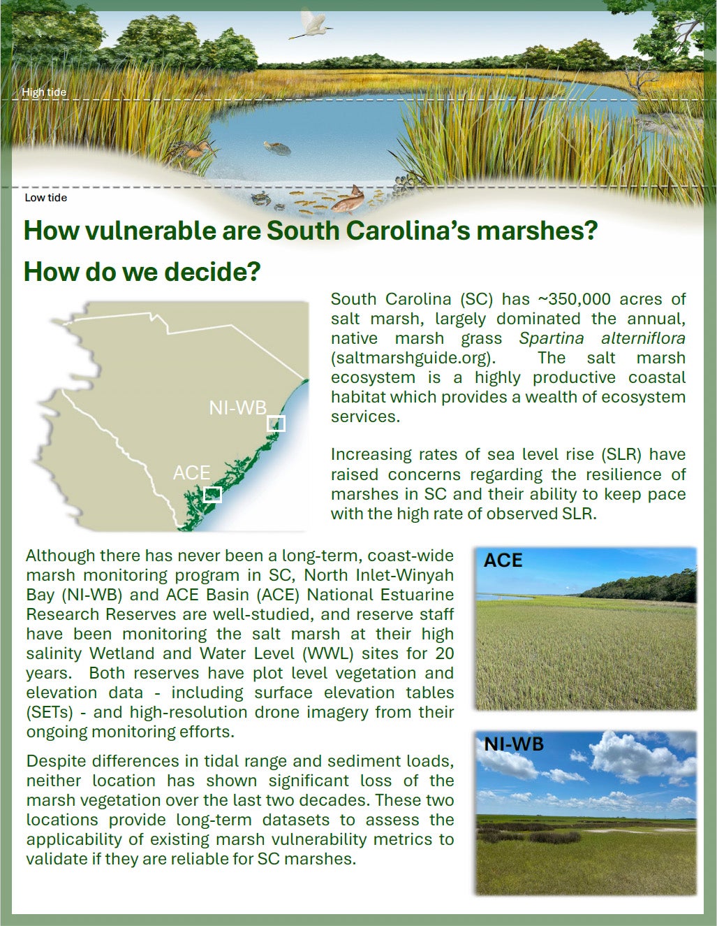
Home to roughly one third of the Southeast's estuarine salt marsh acreage, South Carolina faces escalating local and state concerns over marsh vulnerability due to rising sea levels. Knowing that several informative metrics could be derived from remotely sensed data, a catalyst project utilized unmanned aerial systems (UAS) to assess existing marsh vulnerability metrics at multiple spatial scales at the two South Carolina reserves. In exploring the applicability of the existing metrics and thresholds, the team found that the unique nature of South Carolina’s salt marshes – largely Spartina alterniflora monocultures that vary spatially and temporally in terms of how sparsely vegetated or covered in water they are – result in higher Unvegetated to Vegetated Ratio (UVVR) thresholds, variability in Marsh Resilience to SLR (MARS), and variability in Normalized Difference Vegetation Index (NDVI) calculations. These findings have major implications for marsh management recommendations as decision makers use these metrics to estimate whether marshes are keeping pace with rates of sea level rise.
About this resource
This document highlights the key findings from the project as well as the methods employed by the team to assess the applicability of existing marsh resilience estimates and metrics at North Inlet-Winyah Bay and ACE Basin reserve sites across different spatial scales and image resolutions.