A transfer project brought low-cost arm-and-float water level loggers and tidal calculation expertise to seven reserves to help characterize flooding dynamics for different marsh habitat features and inform targeted management activities.
The Project
Reliable water level information is vital for understanding how tidal flooding and inundation affect coastal wetlands. Despite the rich body of tidal wetland studies in the Reserve System, availability of small-scale, wetland feature-specific water level monitoring data has been minimal even for reserves with well-developed wetlands and water level monitoring programs. In some cases, the nearest NOAA tidal station is located too far from a reserve’s wetlands to serve as an appropriate reference when assessing flooding regimes. By producing high-precision water level monitoring data, reserves can document variability among tidal wetland features, ultimately informing potential management activities. These data and analyses can then help to plan targeted restorations or manipulations that improve habitat resilience to sea level rise.
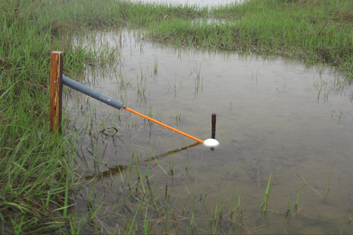
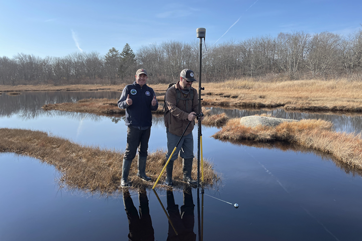
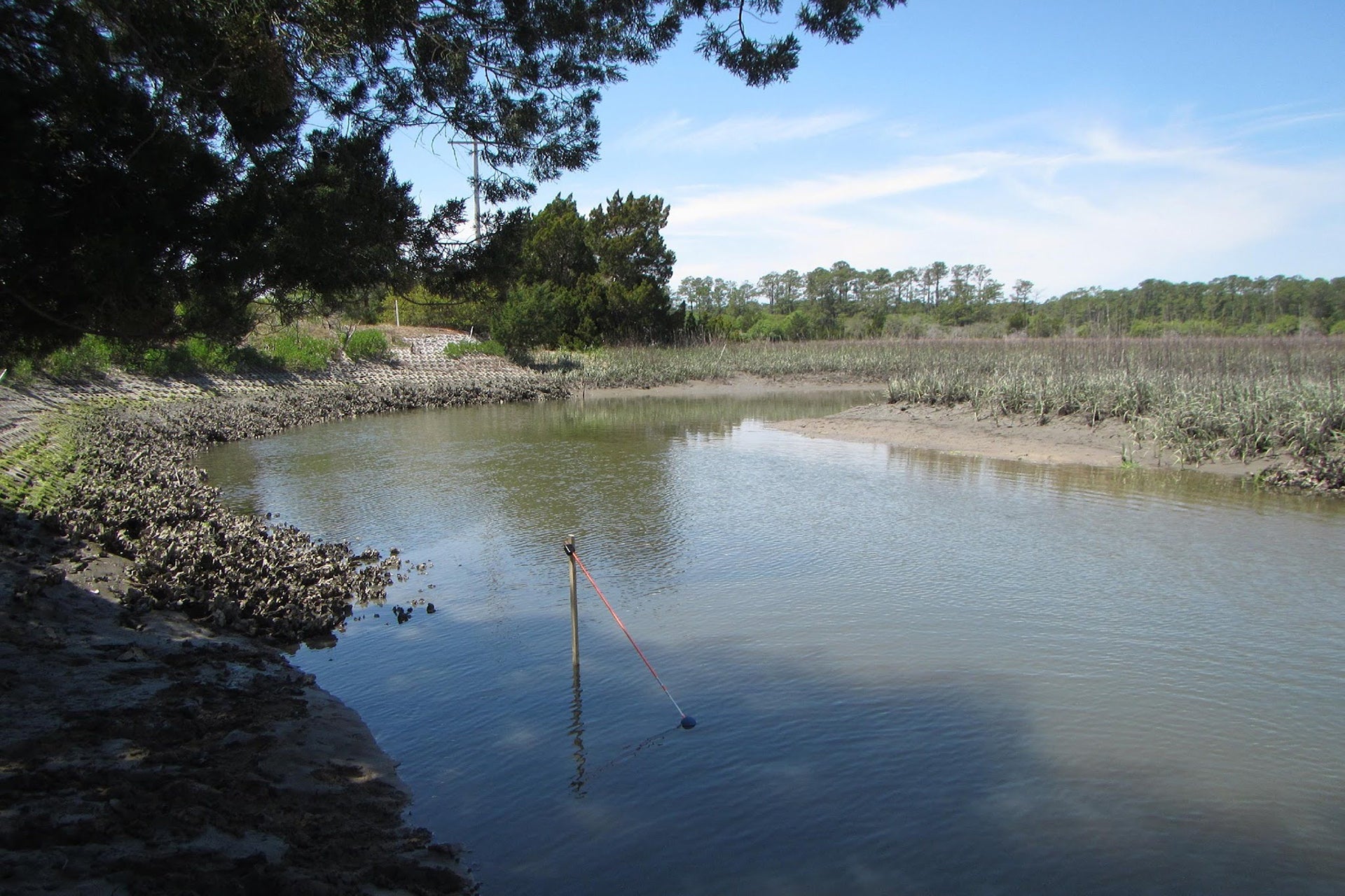
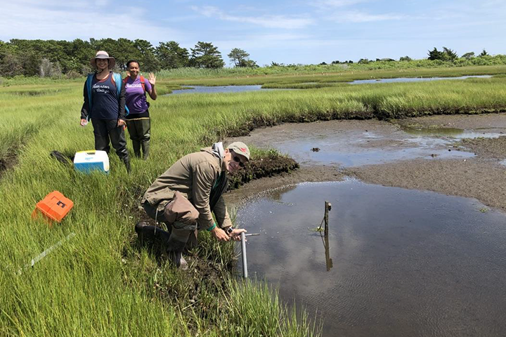
The project team employed a targeted training approach to install Arm-and-Float water level loggers — novel equipment designed and field-tested by the project lead at Waquoit Bay NERR— and bring expertise in hydrodynamic monitoring and tidal datum calculation to six other reserves. Research and stewardship staff served as the primary users and provided 10-14 sites where detailed water level information would help to guide restoration or understanding of vegetation monitoring trends as they relate to inundation periods. Local NERR staff also assisted with equipment deployment, retrieval and elevation surveys at their logger sites. The project deployed instruments at numerous sites across participating reserves over a period of 1-2 years. The team analyzed data associated with a subset of these deployment periods and provided reserve staff at these locations with tidal datums associated with specific marsh features.
The Impact
- This project brought increased awareness of the importance of understanding marsh hydrodynamics at small scales, particularly in the context of restoration and management activities.
- Participating reserves received Arm-and-Float water level loggers which increased their capacity to monitor water levels moving forward.
- All participating reserves received tidal datums calculated for their specific sites, which can be used to support planning for targeted management efforts.
- The products include a user manual and training guide that documents the approach used, the design of the equipment, and the calculation methodology so that this approach can be transferred and replicated in other reserves.