By integrating predictive modeling, heritage sites recording, and community engagement, this project advanced a more representative perspective of local cultural resources within a coastal landscape.
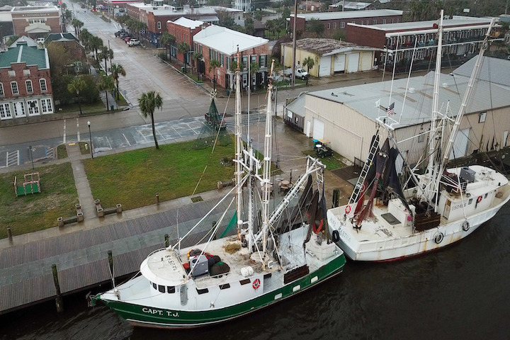
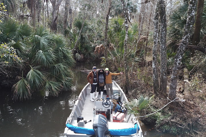
The Apalachicola River and Bay system is a landscape rich in natural and cultural heritage. Over 12,000 years of human history are embedded in the Apalachicola system’s archaeological record, demonstrating the profound connections that many communities of people have had to the landscape. To better understand the interconnected human and natural histories of the area, this project sought to identify the ecosystem services that people, past and present, use and value in the Apalachicola National Estuarine Research Reserve (ANERR).
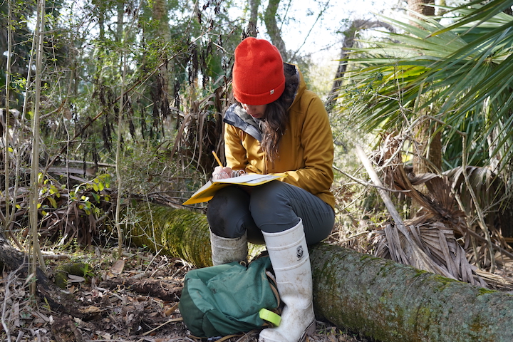
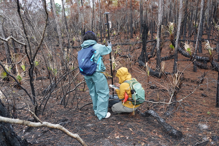
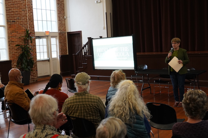
Community conversations, hosted as “Community Conversations on Heritage at Risk,” revealed that many residents feel a deep connection to the region’s fisheries, historic structures, and waterfront traditions, but see them as threatened by changing economic realities and climate impacts. Archaeological site monitoring in the ANERR likewise established that coastal cultural heritage sites, in particular, face active risks from storm surges and sea level rise. Further, predictive modeling using a Sea Levels Affecting Marshes Model (SLAMM) suggested that a majority of these culturally significant places may transition into regularly flooded marshes by 2050 under moderate sea level rise scenarios, underscoring the urgent need for proactive documentation of local heritage.
Considered together, these findings illuminate how cultural practices like oystering, beekeeping, or gathering in historic neighborhoods are integral to local identity and economic well-being. Much of this heritage remains under-documented in the face of ongoing environmental and demographic shifts in the Apalachicola area. Leveraging project data, land managers can prioritize at-risk heritage sites based on specific climate projections, implement monitoring strategies that address both tangible and intangible heritage, and ensure that residents’ voices guide the next steps in preserving their cultural landscape. This integrated approach will strengthen decision-making for both environmental stewardship and the safeguarding of cultural traditions that define the Apalachicola system.
The Impact
- Developed key monitoring protocols to detect changes at archaeological sites, historical structures, and historic cemeteries within the Apalachicola system.
- Refined decision-making strategies for at-risk cultural heritage sites by integrating Sea Levels Affecting Marshes Model (SLAMM) projections into an Archaeological Triage Assessment (ATA).
- Supported ongoing dialogue with Apalachicola communities that has helped build trust and mutual investment in long-term site stewardship.
- Increased knowledge of current and historical Apalachicola system resource users to bolster interpretive and educational programming at the ANERR.