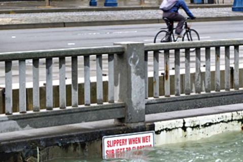
Rising sea levels, severe storms, flooding, and erosion are reshaping the San Francisco Bay area’s coastline, threatening both natural areas and critical infrastructure. Preparing for these climate change impacts may be the greatest challenge facing local decision-makers, yet often they can’t access the information they need to plan effectively, and they are challenged by the uncertainty of how and when these impacts will occur.
In this project, the San Francisco Bay Reserve served as an advising partner to a diverse development team of partners addressing this need through user-driven, science-based decision support tools. These tools help stakeholders understand, visualize, and anticipate vulnerability to storms and sea level rise.