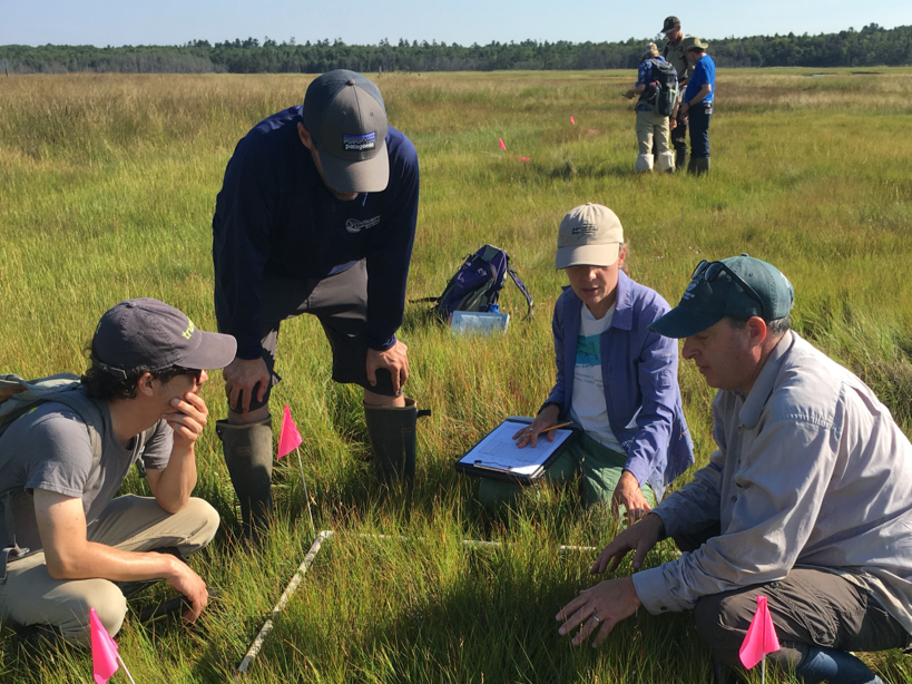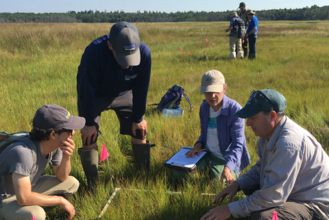
The Wells Reserve is transferring regional geospatial tools developed by USGS to respond to locally identified marsh conservation and management needs in Maine.
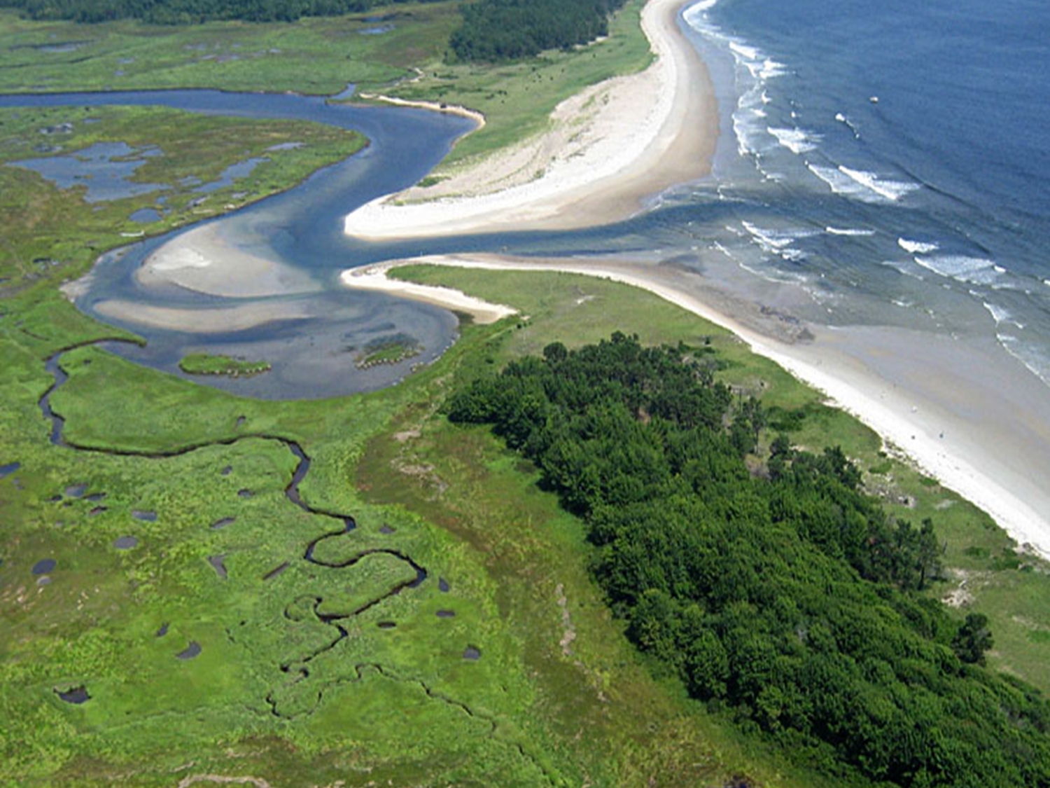
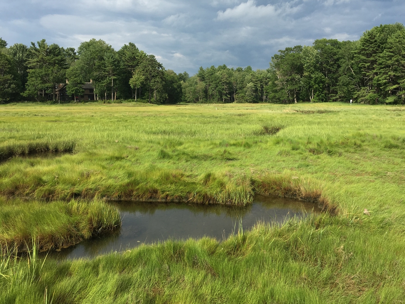
Southern Maine is at the center of two ongoing efforts with a shared objective to provide coastal resource and infrastructure managers with relevant scientific insights to build marsh resilience. The first initiative, the Climate Ready Coast, is led by the Southern Maine Regional Planning and Development Commission (SMPDC) and centers on a place-based user approach using nature-based solutions. This project has identified local decision support needs to prioritize locations for marsh conservation, identify sites for migration pathways, and evaluate restoration strategies. Simultaneously, the US Geological Survey (USGS) is undertaking the Science to Support Marsh Conservation and Management Decisions in the Northeastern United States project, which spans a broader scope from Virginia to Maine and aims to develop the region’s capacity for timely support of decision-makers dealing with climate-induced changes in marsh resilience and vulnerability. The USGS project has already created several regional geospatial products—a ratio of unvegetated-vegetated areas to assess marsh condition, a restoration decision matrix, the marsh lifespan calculator and Coastal Change Likelihood (CCL) data set to estimate the likelihood of geomorphic change due to coastal hazards.
This Science Transfer project uses the USGS data products to respond to the Maine marsh conservation leaders’ needs. The team will transfer and apply the geospatial products to develop locally applicable products, which will provide valuable ground truthing for the USGS project and state of the art science to Maine’s Climate Ready Coast communities. Alignment of this project with Maine’s climate action plan goals Maine Won’t Wait and Maine’s tidal crossing project Coastwise further enhance and amplify the impact of the scientific transfer by addressing unmet needs for science to support strategies that build marsh resilience. This endeavor not only enhances marsh resilience strategies but will also document a Collaborative Learning based model for transferring geospatial science and transfer this to NERRS.