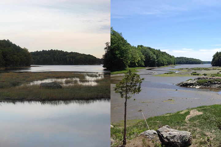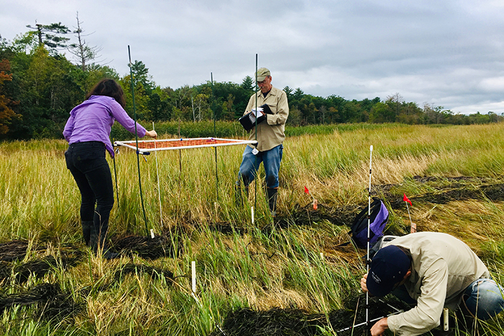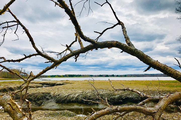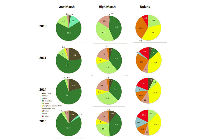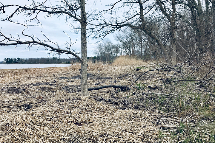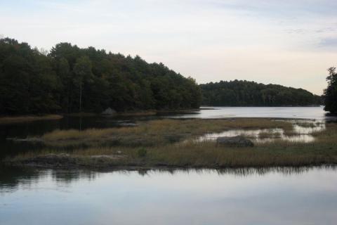
Sea level rise and climate change present major threats to salt marshes across the continental United States. A better understanding of their impacts on marsh vegetation and sediment accretion can help coastal managers improve the management, protection, and restoration of these important ecosystems. Since 2011, the National Estuarine Research Reserve System has been monitoring salt marsh vegetation and elevation changes through the Sentinel Site Application Module. This project conducted the first regional synthesis of Sentinel Site data for four New England reserves (Great Bay, Narragansett, Waquoit Bay, and Wells). It developed statistics-ready data packages linking vegetation change over time with elevation, inundation, tide range, and other factors. The project team recommended improvements to the Sentinel Site protocol and established a methodology for analysis of marsh conditions that can be used by other National Estuarine Research Reserves and coastal managers nationwide. The project’s analysis revealed trends in New England salt marsh vegetation and surface elevation changes over time that are being used to inform regional salt marsh management and conservation.